Smart Cities
Algorithms and Acres: Five Ways Artificial Intelligence Is Reshaping Britain's Land Use Planning
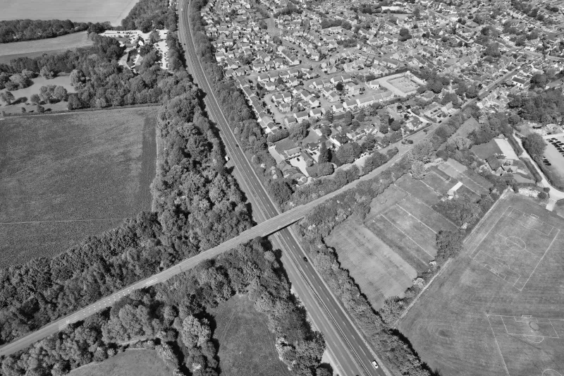
A new generation of machine learning tools, trained on decades of Ordnance Survey, Land Registry, and satellite imagery, is beginning to transform how Britain's planning system identifies development opportunities, anticipates conflicts, and allocates land. CodexGeo profiles five pioneering organisations at the frontier of AI-driven geospatial planning analysis — and examines the risks that accompany the promise.