No Man's Land on the Map: The Geospatial Crisis Fragmenting Britain's Border Communities
No Man's Land on the Map: The Geospatial Crisis Fragmenting Britain's Border Communities
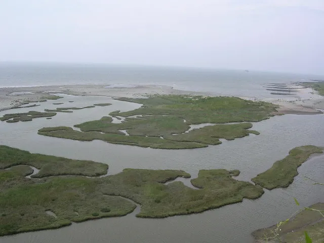
The River Wye meanders through Hay-on-Wye with characteristic indifference to administrative convention. Its course predates the Acts of Union, the Local Government Act 1972, and the devolution settlement of 1999 by centuries. Yet it is precisely these modern political arrangements — and the incompatible geospatial datasets they have spawned — that now determine whether a resident of this celebrated book town receives a Welsh-language council tax demand, an English GP referral pathway, or an ambulance dispatched from the wrong side of Offa's Dyke.
 Photo: River Wye, via ichef.bbci.co.uk
This is not a peripheral curiosity. Across the England-Wales border, from Knighton and Presteigne in the south to Oswestry and Chirk in the north, tens of thousands of residents inhabit communities whose geographic reality has been fractured by the competing cartographic jurisdictions of devolved government. The problem is systemic, long-standing, and — according to the GIS professionals attempting to navigate it — almost entirely avoidable.
The Anatomy of a Boundary Dispute
To understand why border communities suffer disproportionate service failures, one must first appreciate how many distinct spatial datasets govern daily life in modern Britain. NHS England and NHS Wales maintain separate patient registration systems, each anchored to postcode-to-health-board lookup tables that were last comprehensively reconciled in the early 2000s. Local authority boundaries, maintained by the Office for National Statistics' Geoportal and the Welsh Government's StatsWales platform, use subtly different polygon representations of the same physical border — differences that become consequential when planning applications, school admissions algorithms, or benefits assessments depend on precise point-in-polygon calculations.
Commercial navigation providers compound the problem. HERE Technologies, TomTom, and Google Maps each maintain proprietary road network datasets with their own administrative boundary overlays. These datasets are updated on different schedules, use different coordinate reference systems, and are licensed under terms that discourage the kind of cross-provider data sharing that might resolve inconsistencies. The result, for a paramedic responding to an emergency in Llanymynech — a village bisected so precisely by the border that its golf course straddles two nations — is a navigation system that may route them via England when the patient's front door opens onto Wales.
When Competing Jurisdictions Produce Real Harm
The consequences of this cartographic fragmentation are not abstract. Emergency services on both sides of the border have documented incidents in which vehicles were dispatched from the incorrect control centre due to address-matching failures between the national address gazetteer maintained by GeoPlace and the Welsh National Marine Plan's address infrastructure. The Welsh Ambulance Services NHS Trust and West Midlands Ambulance Service operate under separate CAD (Computer-Aided Despatch) systems that communicate through interfaces designed in the late 1990s — interfaces that treat the border as a clean line rather than the fuzzy, contested zone it functionally represents.
School admissions present an equally troubling picture. Families in Knighton and surrounding parishes frequently discover that their home postcode places them within the catchment area of a school in Powys, whilst their nearest school by road distance sits across the border in Shropshire. The admissions algorithms used by each local authority are not designed to interrogate cross-boundary scenarios; they simply apply their own dataset and return a result. Parents who appeal are often told, with some accuracy, that neither authority has the mandate to resolve the discrepancy.
Housing and planning decisions carry perhaps the most durable consequences. A development site in Selattyn, north Shropshire, may appear in the Shropshire Council planning portal but abut land designated as protected under Powys County Council's local development plan. Without a shared spatial data infrastructure, planners on either side of the boundary may be entirely unaware of designations applied by their counterparts.
The Data Infrastructure Behind the Problem
At a technical level, the root cause is straightforward: England and Wales have developed parallel but non-interoperable geospatial data ecosystems. The Geospatial Commission, established in 2018 to coordinate the United Kingdom's location data strategy, operates under a remit that explicitly acknowledges devolved competencies — which in practice means that its authority to mandate data standards stops at the border.
Ordnance Survey of Great Britain, nominally a pan-national agency, produces the MasterMap Topography Layer and AddressBase datasets that underpin most public sector GIS work in England. Whilst these products cover Wales geographically, the administrative datasets layered upon them — health boundaries, school catchments, electoral wards — are maintained by separate bodies with separate update cycles and separate quality assurance regimes.
The Senedd has invested significantly in the Wales Spatial Plan and its successor frameworks, but these strategic documents do not resolve the operational data incompatibilities that affect emergency despatch, school admissions, and benefits administration. They address land use policy at a strategic scale; they do not produce a unified cross-border address gazetteer or a reconciled health boundary dataset.
Towards a Cross-Border Geospatial Framework
Several models exist for managing transboundary geospatial data in federated political systems. The European INSPIRE Directive — from which the UK has now diverged post-Brexit — established a framework for cross-border spatial data interoperability across member states with far greater political differences than England and Wales. Closer to home, the joint working arrangements between Scottish local authorities and their counterparts in Northumberland and Cumbria offer a more modest but instructive precedent.
What the England-Wales border communities require is not a new political settlement but a technical one: a jointly governed cross-border gazetteer, a reconciled set of administrative boundary polygons, and agreed protocols for emergency despatch that override jurisdictional defaults when address ambiguity is detected. None of this demands legislative change. It demands political will, a modest data-sharing agreement between the Geospatial Commission and the Welsh Government's Digital team, and a recognition that the residents of Hay-on-Wye deserve the same locational certainty as those in Harrogate or Hereford.
The maps we draw define the services we deliver. In Britain's border communities, the maps have been drawn by competing hands — and the residents are paying the price.