Subterranean Streams, Surface Consequences: How Britain's Buried Rivers Are Undermining Urban Development

Subterranean Streams, Surface Consequences: How Britain's Buried Rivers Are Undermining Urban Development
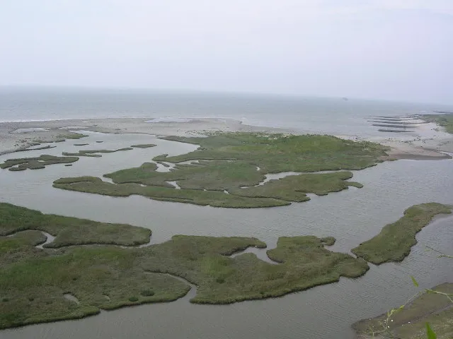
London's Fleet, Sheffield's Porter, Birmingham's Rea — these are not obscure footnotes in local history. They are active watercourses that continue to carry rainfall, groundwater, and surface runoff through the urban fabric of some of Britain's most densely developed cities. The fact that most residents have never heard of them is precisely the problem.
 Photo: Birmingham's Rea, via i2-prod.birminghammail.co.uk
For decades, the culverting and burial of urban rivers was treated as an engineering triumph: a civilising act that converted messy, flood-prone watercourses into underground conduits, freeing up land for development above. What the planners of the nineteenth and twentieth centuries did not anticipate was that future generations would lose track of where those conduits ran — and would build directly on top of them.
The Cartographic Erasure of Living Water
When a river is culverted, it does not cease to exist. It continues to respond to rainfall, to carry sediment, to exert hydraulic pressure on the structures built around it. What changes is its relationship with institutional memory. Once a watercourse disappears from the visible landscape, it tends, over successive decades, to disappear from planning maps as well.
This process of cartographic erasure is not uniform. Some local authorities retain detailed records of historic culverts within their drainage asset registers. Others do not. The Environment Agency's flood risk mapping, while significantly improved in recent years, has historically focused on surface water and main rivers, with culverted ordinary watercourses frequently absent from its published datasets. The result is a patchwork of knowledge that creates dangerous blind spots precisely where development pressure is highest.
In Sheffield, a 2019 planning inquiry into structural damage to a mixed-use development in the Lower Don Valley identified an unrecorded culverted tributary as a contributing factor in foundation instability. The developer's ground investigation had not identified the watercourse because it did not appear on any of the consulted mapping sources. The remediation costs ran to several hundred thousand pounds. The development was delayed by fourteen months.
LiDAR and the Archaeology of Drainage
The tools now available to reconstruct Britain's lost hydrological geography are considerably more powerful than those that existed when many of these rivers were buried. Light Detection and Ranging — LiDAR — technology, deployed increasingly from both airborne and satellite platforms, generates high-resolution terrain models capable of revealing subtle surface depressions, valley forms, and drainage patterns that persist in the landscape long after the watercourse that created them has been enclosed.
When processed through hydrological flow-routing algorithms, LiDAR data can identify probable historic channel paths with a high degree of accuracy. Combined with historical Ordnance Survey mapping — particularly the large-scale town plans produced between the 1840s and 1930s, many of which pre-date extensive culverting — and with georeferenced tithe and enclosure maps, analysts can reconstruct the pre-development drainage network of most British urban areas to a useful level of detail.
The Environment Agency has made significant progress in this area, with its National LiDAR Programme now providing one-metre resolution coverage across much of England. However, the conversion of this raw terrain data into actionable planning intelligence remains inconsistent. The technical capacity to interpret LiDAR for hydrological archaeology exists; the institutional will to embed it routinely in the planning process does not yet match it.
Ground-Penetrating Radar and the Search for Hidden Culverts
Where surface topographic analysis reaches its limits — in heavily built-up areas where original landforms have been extensively modified — ground-penetrating radar (GPR) and electrical resistivity tomography offer complementary approaches to locating subsurface drainage features. GPR surveys, already widely used in utilities detection, can identify culvert structures, voids, and areas of saturated ground that may indicate an active underground watercourse.
Several UK consultancies are now offering integrated hydrological risk assessments that combine LiDAR analysis, historical mapping research, and targeted GPR surveys as part of pre-application planning due diligence. The cost of such assessments — typically in the range of £5,000 to £25,000 depending on site complexity — is modest relative to the potential cost of building on an unidentified culverted river.
The challenge is that these assessments are not mandatory. Planning guidance in England, under the National Planning Policy Framework, requires applicants to consider flood risk, but the specific identification of culverted watercourses is not explicitly required unless the site falls within a defined flood zone. Many culverted rivers, flowing beneath urban areas at depths that prevent them from expressing a surface flood zone, fall outside the scope of standard flood risk assessments entirely.
Case Studies in Consequential Ignorance
The Sheffield example is not isolated. In Bristol, the culverted Malago has been implicated in repeated episodes of basement flooding in properties developed above its historic channel in the Bedminster area. In Manchester, the buried Tib — a tributary of the Irwell whose name survives in Tibb Street — has created persistent drainage problems in the Northern Quarter, where historic warehouse conversions have encountered unexpected groundwater ingress.
Perhaps most instructive is the case of Croydon, where the Wandle and several of its tributaries were progressively culverted through the twentieth century to accommodate industrial and retail development. When a major surface water flooding event struck the town centre in 2013, post-event analysis revealed that several of the worst-affected areas corresponded closely with the historic channel of a buried tributary that had been absent from contemporary mapping. The flood water was, in effect, rediscovering its original path.
Towards a National Buried Watercourse Register
The case for a systematically maintained national register of culverted and buried watercourses has been made by hydrologists, urban planners, and geospatial specialists for many years. The data to compile such a register largely exists, distributed across Environment Agency records, Internal Drainage Board asset registers, local authority drainage databases, and the archive collections of water companies. What is lacking is the coordination, the standardisation, and the political will to bring these sources together.
The Geospatial Commission's National Underground Asset Register, currently in development, represents the most significant recent opportunity to incorporate buried watercourse data into a unified national spatial framework. Whether culverted rivers will receive the same systematic attention as utility pipes and cables remains to be seen.
What is clear is that the cost of continued ignorance is quantifiable and cumulative. Every planning permission granted above an unidentified buried river is a liability deferred rather than avoided. Britain's urban landscape is, in a very literal sense, built on water — and the maps that guide its future development need to acknowledge that fact.