Address Unknown: The Thousands of British Properties Royal Mail Has Left Off the Map
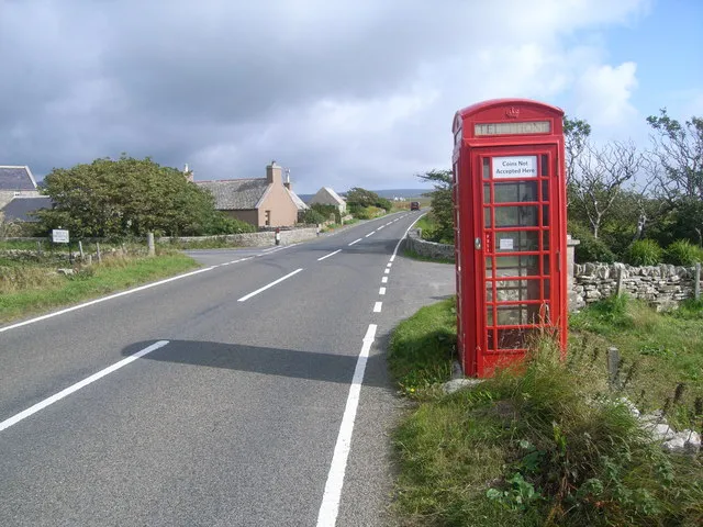
Photo: Nicholas Mutton, CC BY-SA 2.0, via Wikimedia Commons
For most British residents, a postcode is an unremarkable fact of life — six or seven characters printed on envelopes, typed into checkout forms, and entered into mortgage applications without a second thought. Yet for a significant and poorly documented cohort of citizens across the United Kingdom, no such code exists. Their homes, businesses, and community buildings occupy a peculiar administrative void: present on the physical landscape, absent from the digital one.
The consequences of this absence are neither trivial nor purely inconvenient. In an era when postcode validation underpins everything from credit scoring to ambulance dispatch, to occupy a property without a recognised postcode is to be, in functional terms, geographically unreal.
The Scale of the Problem
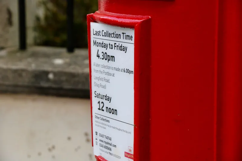
Royal Mail administers the Postcode Address File (PAF), the authoritative database against which the vast majority of British address-validation systems are calibrated. The PAF is updated regularly, but its coverage is not universal. Estimates from geospatial analysts and addressing specialists suggest that anywhere between 50,000 and 100,000 legitimate properties across the UK lack a standard postcode entry — though the true figure is difficult to establish precisely, partly because properties without postcodes are, by definition, difficult to count.
The affected addresses fall into several broad categories. Remote rural and island communities — particularly across the Scottish Highlands, the Northern Isles, and parts of mid-Wales — have historically been assigned postcodes that cover enormous geographic areas or, in some cases, none at all. New residential developments represent a second category: housebuilders frequently complete and occupy properties months before Royal Mail assigns a postcode, leaving residents in a temporary but deeply disruptive limbo. Historic anomalies form a third group — properties with longstanding descriptive addresses, ancient farmsteads, and ecclesiastical buildings that predate the postcode system and were never formally integrated into it.
 Photo: Northern Isles, via c8.alamy.com
 Photo: Scottish Highlands, via i0.wp.com
When a Missing Postcode Becomes a Crisis
The practical ramifications of postcode absence have grown considerably more serious as British public and commercial life has migrated online. Bank account applications, insurance quotations, electoral registration, and GP surgery sign-ups all rely on postcode validation as a foundational identity check. When a system cannot locate an address, it typically returns an error — and the human on the other end of that error is frequently left without recourse.
Residents of Scotland's more remote islands have documented particular difficulties. Attempts to arrange home insurance, open utility accounts, or receive online deliveries are routinely frustrated by validation systems that reject their addresses outright. Some have resorted to using the postcode of a nearby village or town, creating a layer of unofficial geographic fiction that compounds the original data gap.
For newly built communities on the urban fringe — particularly the large-scale developments approved under permitted development rights or garden community designations — the wait for postcode assignment can stretch to a year or more after first occupation. During that period, residents may find themselves unable to register with a local GP, access certain government digital services, or complete financial transactions that require address verification. The irony is acute: these are often communities created specifically to address Britain's housing shortage, yet they begin their civic existence in a state of geographic non-existence.
The Commercial Geography of Exclusion
The private sector's dependence on Royal Mail's PAF data amplifies the consequences of its gaps. Delivery logistics platforms, e-commerce retailers, and insurance underwriters have largely outsourced the question of address validity to PAF lookup services. When a property does not appear in those services, the default response is refusal — not investigation.
This dynamic creates what geospatial specialists sometimes describe as a feedback loop of exclusion. Residents without recognised postcodes cannot access services; service providers have no commercial incentive to accommodate addresses that fall outside their validation framework; and Royal Mail, operating under its own prioritisation criteria, may not assign postcodes to small or remote clusters of properties for years.
The situation is further complicated by the proliferation of competing address datasets. Ordnance Survey's AddressBase product, the Valuation Office Agency's rating lists, and local authority address registers each hold data that Royal Mail's PAF does not — yet none of these datasets has the same commercial reach or systemic embeddedness as the PAF. The result is a fragmented national picture in which the most authoritative dataset is simultaneously the most incomplete.
 Photo: Ordnance Survey, via images.bauerhosting.com
Towards a National Addressing Authority
Calls for reform are not new, but they have grown more urgent as the digital economy has deepened its dependence on postcode infrastructure. Several geospatial policy analysts have argued for the creation of a statutory national addressing authority — a body with the mandate and resources to maintain a comprehensive, open, and continuously updated address register covering every property in the United Kingdom.
The Geospatial Commission, established in 2018 to coordinate the UK's location data strategy, has acknowledged the importance of address data quality in successive reports. Its 2020 UK Geospatial Strategy identified addressing as a priority area, and subsequent work has explored the feasibility of a unified national address dataset. Progress, however, has been measured.
Proponents of reform point to international precedents. Several Nordic countries maintain national address registers administered by public bodies, with open licensing arrangements that allow private and public sector users to access the data freely. The contrast with Britain's model — in which the foundational address dataset is a commercial product administered by a privatised postal operator — is instructive.
Opponents of radical reform caution against underestimating the complexity of the task. Reconciling multiple competing datasets, establishing clear governance arrangements, and managing the transition away from PAF dependency would require sustained political will and significant investment. There is also the question of what happens to existing commercial arrangements built around the PAF during any transitional period.
The Geographic Equity Argument
Perhaps the most compelling case for reform is not technical but ethical. The residents most likely to lack a recognised postcode are disproportionately those in rural and remote communities — communities that already face compounded disadvantages in accessing public services, commercial infrastructure, and digital connectivity. The absence of a postcode is not merely an administrative inconvenience in these contexts; it is an additional layer of geographic marginalisation imposed by a data system that was never designed with their circumstances in mind.
A coherent national geospatial addressing framework would not resolve every challenge facing rural Britain. But it would remove one significant and largely unnecessary barrier — and in doing so, affirm a principle that should be uncontroversial: that every legitimate address in the United Kingdom deserves recognition within the systems upon which modern civic and commercial life depends.
Until that principle is enshrined in policy, the postcode that never was will continue to define the lives of those who live beyond the edges of Royal Mail's map.