Sensing the Leak: Five Geospatial Innovations Transforming Britain's Water Network — and the Limits of Technology Alone
Sensing the Leak: Five Geospatial Innovations Transforming Britain's Water Network — and the Limits of Technology Alone
Beneath the streets of Britain's towns and cities lies an infrastructure crisis that is simultaneously mundane and catastrophic. An estimated three billion litres of clean, treated water escapes the distribution network every day through leaking pipes, faulty joints, and corroded mains. To put that figure in context, it is roughly equivalent to the daily water needs of twenty million people — lost not through consumption but through the slow haemorrhage of a network that, in many areas, has not been substantially renewed since the reign of Queen Victoria.
Water companies have faced sustained regulatory pressure from Ofwat to reduce leakage rates, and the sector has responded by investing heavily in geospatial technology. The tools now being deployed are genuinely impressive. Whether they are being deployed at sufficient scale, with sufficient coordination, and against a sufficiently honest assessment of the infrastructure challenge, is a more complicated question.
Here are five of the most significant geospatial innovations currently operating within Britain's water network — and a frank assessment of what they can and cannot achieve.
1. Acoustic Leak Detection Networks Mapped to Pipe Asset Registers
The most widely deployed geospatial tool in the water sector is acoustic monitoring. Sensors attached to hydrants, valves, and stop taps listen continuously for the characteristic sound signatures of water escaping under pressure. The technology is not new, but what has changed is the integration of acoustic data with georeferenced pipe asset registers — detailed GIS databases recording the age, material, diameter, and maintenance history of every section of main.
Thames Water has deployed an acoustic monitoring network across significant portions of its London distribution system, correlating sensor alerts with asset register data to prioritise repair teams geographically. Rather than responding reactively to visible surface flooding or customer reports — the traditional triggers for leak repair — the system generates a spatial queue of probable leak locations ranked by confidence and severity.
The practical effect is a shift from reactive to predictive maintenance, at least in the areas covered by the sensor network. Thames Water has reported leakage reductions in monitored zones, though critics note that the network remains incomplete and that coverage is thinner in lower-density outer areas where the cost per sensor is harder to justify commercially.
2. Satellite-Derived Ground Movement Analysis
One of the more remarkable recent additions to the water sector's geospatial toolkit is the use of Interferometric Synthetic Aperture Radar — InSAR — to detect millimetre-scale ground movement patterns that may indicate subsurface pipe failure.
Satellites equipped with radar instruments can measure surface deformation across wide areas with a spatial precision that ground-based survey methods cannot economically replicate. When a pipe leaks slowly over an extended period, the surrounding soil absorbs water and may exhibit subtle movement patterns — slight subsidence or heave — that become visible in repeated InSAR passes.
Anglian Water has been among the more progressive adopters of InSAR-derived analysis, working with specialist remote sensing firms to overlay ground movement data onto its pipe network GIS. The approach is particularly valuable in flat, low-lying areas — much of Anglian's operating territory — where traditional acoustic methods are less effective due to soil conditions that dampen sound transmission.
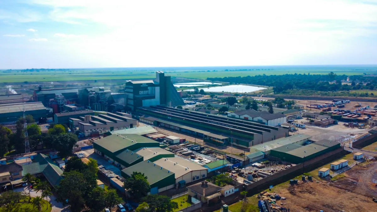 Photo: Anglian Water, via www.zamsugar.co.zm
The limitation is temporal resolution. InSAR analysis identifies where ground movement has already occurred; it does not predict failure in advance. For slow-developing leaks, this remains a powerful diagnostic tool. For sudden main bursts, it offers little preventive value.
3. Machine Learning Models Applied to Spatial Failure Data
Several UK water companies have begun applying machine learning algorithms to their historical pipe failure datasets, seeking to identify the spatial and asset-attribute combinations most strongly associated with future failure risk.
Scottish Water has developed a risk-scoring model that integrates pipe age, material type, soil corrosivity (derived from British Geological Survey data), traffic loading, and historical repair frequency to generate a georeferenced risk map of its entire distribution network. High-scoring pipe segments are prioritised for proactive renewal programmes rather than waiting for failure to manifest.
 Photo: Scottish Water, via i.pinimg.com
The geospatial dimension is critical here. Pipe failure is not randomly distributed; it clusters in ways that reflect the interaction of infrastructure age, ground conditions, and operational pressure. A model that treats the network as a collection of independent assets, without spatial context, will systematically underestimate risk in areas where multiple adverse factors coincide.
Scottish Water's approach has allowed it to direct capital investment more precisely, reducing the proportion of emergency repairs — which are significantly more expensive and disruptive than planned interventions — as a share of total maintenance activity.
4. Digital Twin Platforms for Network Pressure Management
Pressure management is one of the most effective leakage reduction strategies available to water utilities: lower network pressure reduces the rate at which water escapes through existing defects. But managing pressure across a complex distribution network requires an accurate, real-time digital representation of how that network behaves under varying demand conditions.
Digital twin technology — detailed hydraulic models of distribution networks, updated continuously with telemetry data from pressure loggers and flow meters — has become an important geospatial tool for several major UK utilities. Severn Trent has invested substantially in its network digital twin capability, using it to identify pressure reduction opportunities that would not be apparent from static network analysis.
The geospatial layer is fundamental to digital twin effectiveness. Pressure logger locations, demand nodes, and network topology must all be accurately georeferenced and kept current as the physical network changes. Where asset register data is incomplete or outdated — a persistent problem across the sector — the digital twin's predictive accuracy degrades accordingly.
5. Drone and Mobile LiDAR Survey for Above-Ground Asset Inspection
While much of the leakage challenge lies underground, above-ground infrastructure — service reservoirs, treatment works, pumping stations, and exposed mains — also requires systematic inspection. Drone-mounted LiDAR and photogrammetry systems are increasingly being used to generate high-resolution three-dimensional models of these assets, enabling condition assessment without the access constraints and safety risks of manual inspection.
United Utilities has deployed drone survey programmes across its reservoir estate in the North West, generating georeferenced condition data that feeds into its capital maintenance planning GIS. The efficiency gains over traditional survey methods are substantial: a drone survey that takes several hours to complete would require days of scaffolding, access arrangements, and manual inspection to replicate conventionally.
The data generated integrates directly with asset management GIS platforms, allowing condition scores to be mapped spatially and compared against operational risk assessments. Where a reservoir is both in poor structural condition and located in an area of high downstream population density, the combined risk score triggers accelerated investment.
Why Innovation Is Necessary But Not Sufficient
The five technologies described above represent a genuine step change in the sector's geospatial capability. Taken together, they are enabling a more rational, evidence-based approach to network management than the reactive, complaint-driven model that characterised much of the industry's post-privatisation history.
And yet the leakage figures remain stubbornly high. The reasons are structural rather than technological, and they point to limitations that no sensor network or satellite pass can resolve.
Britain's water distribution network includes an estimated 340,000 kilometres of mains. A substantial proportion of those mains were laid before the First World War, using materials and jointing methods that have long since passed their serviceable life. The rate at which utilities are renewing this infrastructure — even accounting for recent investment increases — remains well below the rate at which the existing stock continues to age and deteriorate.
Geospatial technology can identify where the network is failing. It can prioritise which failures to address first. It can optimise the deployment of repair teams and the scheduling of planned renewals. What it cannot do is substitute for the capital investment required to physically replace pipes that have simply reached the end of their useful life.
A truly geospatially coordinated national water strategy would need to go beyond the individual utility level. It would require a shared national pipe asset register — something that does not currently exist in any comprehensive form — integrated with BGS ground condition data, OS infrastructure mapping, and local authority highway records to enable cross-sector planning of renewal programmes. It would require regulatory frameworks that reward long-term asset stewardship rather than short-term leakage rate metrics. And it would require honest public acknowledgement that the scale of the infrastructure renewal challenge is measured in decades and tens of billions of pounds, not in the next five-year regulatory period.
The geospatial tools are ready. The question is whether the institutional architecture around them is equal to the task.