Fractured Response: How Incompatible Mapping Systems Are Hampering Britain's Emergency Services
When Every Second Counts, Maps Must Match
In the critical moments following a major incident, Britain's blue light services face an invisible enemy: their own mapping systems. Whilst the public assumes emergency responders operate from a unified geographic framework, the reality reveals a fragmented landscape where police, fire, and ambulance services often work from fundamentally incompatible maps.
This geographic discord isn't merely a technical inconvenience—it's a public safety crisis that has contributed to response delays, resource misallocation, and near-miss incidents across the country. As emergency services become increasingly dependent on digital mapping for everything from route optimisation to resource deployment, the absence of unified geospatial standards represents a critical vulnerability in Britain's emergency response infrastructure.
The Coordinate Confusion
The problem begins with basic geographic coordinates. Police forces across England and Wales predominantly use the British National Grid system, a coordinate framework developed by Ordnance Survey that divides Britain into precise square metres. Fire services, however, have historically favoured the older Ordnance Survey National Grid Reference System, whilst many ambulance trusts have adopted GPS-based World Geodetic System coordinates to integrate with satellite navigation technology.
These seemingly technical differences create real-world chaos during joint operations. When Greater Manchester Police reports an incident at grid reference SJ 8398 9798, the corresponding fire service may interpret this location differently due to coordinate system variations, potentially directing resources to points hundreds of metres apart.
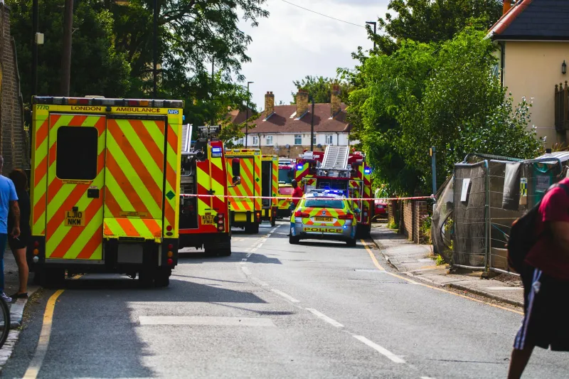
 Photo: Greater Manchester Police, via c8.alamy.com
"We've had situations where police and fire units have arrived at different ends of the same street because our mapping systems use different reference points," explains Chief Inspector Sarah Mitchell, who heads Greater Manchester Police's geographic information unit. "In urban areas, that might mean a delay of minutes. In rural areas, it could be the difference between life and death."
Platform Proliferation
Beyond coordinate systems, emergency services operate an bewildering array of mapping platforms. Police forces favour systems like ESRI's ArcGIS for crime analysis and investigation support. Fire services often rely on specialized platforms optimized for risk assessment and water source mapping. Ambulance services prioritise navigation-focused solutions that integrate with vehicle tracking systems.
Each platform offers distinct advantages for specific operational requirements, but this specialization comes at the cost of interoperability. When the Metropolitan Police's mapping system identifies a high-risk building, that information may not seamlessly transfer to London Fire Brigade's risk assessment database, forcing responders to manually cross-reference data during time-critical situations.
The consequences extend beyond operational efficiency. During the 2017 London Bridge terrorist attack, initial confusion arose when different agencies' mapping systems provided conflicting information about building layouts and emergency access routes. Whilst the incident was ultimately resolved successfully, post-incident reviews highlighted geographic data inconsistencies that complicated the multi-agency response.
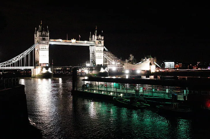 Photo: London Bridge, via i0.hippopx.com
The Address Database Dilemma
Perhaps the most fundamental challenge involves address databases. Emergency services rely on accurate address information to locate incidents, but Britain lacks a single, authoritative address database that all agencies share. Instead, emergency services maintain separate databases that may contain conflicting or outdated information.
Royal Mail's Postcode Address File serves as the de facto national standard, but emergency services often supplement this with locally-maintained data that reflects operational requirements. Police databases may include informal location names and landmark references that help officers navigate complex urban areas. Fire services maintain detailed records of water sources and access routes that don't appear in standard address databases. Ambulance services track hospital locations and helicopter landing sites that require precise coordinates.
This fragmentation creates particular challenges in rapidly developing areas where new housing developments may appear in one agency's database weeks or months before updating others. Emergency calls to new addresses may result in responders being directed to incorrect locations or, worse, being unable to locate incidents at all.
Rural Response Complications
The mapping fragmentation problem becomes acute in rural areas where address systems break down entirely. Farmhouses identified only by property names, remote industrial sites accessible via private roads, and outdoor recreation areas lacking formal addresses present challenges that expose the limitations of incompatible mapping systems.
In the Scottish Highlands, mountain rescue operations frequently involve multiple agencies working from different geographic references. Police may use Ordnance Survey grid references, whilst helicopter crews operate from GPS coordinates, and ground teams rely on locally-developed waypoint systems. Converting between these systems during search and rescue operations introduces delays and potential for error when every minute counts.
 Photo: Scottish Highlands, via wallpapercave.com
"We've seen situations where rescue teams have wasted hours searching the wrong valley because of coordinate conversion errors," notes Dr. James Robertson, a geographic information specialist who has worked with Scottish emergency services. "These aren't theoretical problems—they're life-and-death issues that happen regularly across Britain."
Failed Standardisation Attempts
Recognising these challenges, the Home Office launched the National Community Safety Plan in 2018, which included provisions for standardising emergency service mapping systems. The initiative aimed to create common geographic standards and shared databases that would enable seamless information sharing between agencies.
Progress has been disappointingly slow. Budget constraints, procurement complexities, and institutional resistance have hampered implementation. Each emergency service has invested heavily in existing systems and developed operational procedures around specific platforms. The cost and disruption of migration to unified systems has proven politically and financially challenging.
Local initiatives have shown more promise. Greater London Authority has successfully implemented shared geographic standards across Metropolitan Police, London Fire Brigade, and London Ambulance Service within specific boroughs. The system enables real-time sharing of incident locations, resource positions, and risk assessments through compatible mapping platforms.
The Technology Solution
Modern geospatial technology offers potential solutions that don't require wholesale replacement of existing systems. Application Programming Interfaces (APIs) can enable real-time translation between coordinate systems, whilst cloud-based platforms can provide unified views of multi-agency data without requiring individual services to abandon their specialised tools.
Artificial intelligence and machine learning technologies could automatically reconcile address inconsistencies and update databases across agencies simultaneously. Blockchain technology might provide secure, distributed databases that maintain data integrity whilst enabling inter-agency access.
Building a Unified Framework
The path forward requires both technological innovation and institutional commitment. Emergency services need standardised protocols for geographic data sharing that preserve operational flexibility whilst ensuring compatibility during joint operations. This might involve adopting common coordinate systems for incident reporting whilst allowing agencies to maintain specialised tools for their specific requirements.
Investment in training is equally crucial. Emergency service personnel need geographic literacy that extends beyond their own systems to understand how coordinate systems interact and where potential discrepancies might arise. This knowledge could prevent minor technical issues from becoming major operational problems.
The Imperative for Change
As Britain's emergency services face increasing demands from climate change, terrorism threats, and demographic shifts, geographic coordination becomes ever more critical. The current fragmentation of mapping systems represents an unacceptable vulnerability that undermines the effectiveness of otherwise world-class emergency services.
The technology exists to solve these problems. What's needed now is the political will and institutional commitment to prioritise geographic interoperability as a fundamental requirement for public safety. In an era where seconds can mean the difference between life and death, Britain's emergency services deserve mapping systems that unite rather than divide their response efforts.