Underground Britain: Revolutionary Gravity Mapping Prevents Catastrophic Surface Collapses
The Hidden World Beneath Our Feet
Britain sits atop a vast underground labyrinth that most citizens never consider—until the ground literally gives way beneath them. From medieval chalk mines under Kent to Victorian railway tunnels under Manchester, centuries of excavation have left a legacy of forgotten voids that pose constant threats to modern infrastructure. However, revolutionary mapping technologies are finally giving us the tools to peer through solid earth and identify these hidden dangers before they claim their next victim.
The stakes couldn't be higher. The British Geological Survey estimates that over 160,000 known mine entries exist across the UK, with potentially thousands more unrecorded. Each represents a potential catastrophe waiting to unfold—from the 2013 collapse that swallowed a section of the M2 motorway to the 2019 incident where an entire street in Ripon vanished into a medieval gypsum mine.
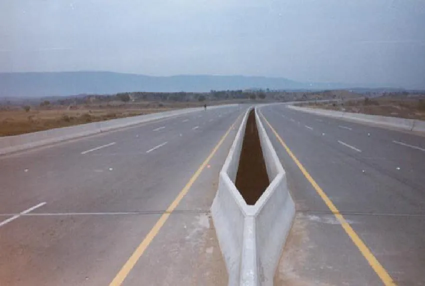 Photo: M2 motorway, via acl.com.pk
"We're essentially conducting archaeological detective work with space-age technology," explains Dr. Amanda Foster, lead researcher at the National Underground Hazards Initiative. "Every void we map today is a potential disaster we prevent tomorrow."
Gravity's New Purpose: Detecting the Invisible
The breakthrough technology transforming underground mapping is microgravimetry—a technique that measures minute variations in Earth's gravitational field to detect density differences below the surface. Where solid rock should exist, underground voids create subtle but detectable gravitational anomalies that sophisticated sensors can identify with remarkable precision.
"Think of it as giving the Earth an MRI scan," describes Professor Michael Chen, director of Applied Geophysics at Imperial College London. "Underground cavities create gravitational signatures as distinctive as fingerprints. Our latest gravimeters can detect voids as small as a telephone box from surface measurements."
The technology has evolved dramatically from its origins in oil exploration. Modern quantum gravimeters, deployed by companies like Cambridge-based TerraSense, can measure gravitational variations to within billionths of standard Earth gravity. When combined with GPS positioning accurate to centimetres, they create detailed three-dimensional maps of underground structures without disturbing a single grain of soil above.
LiDAR: Seeing Through Time and Vegetation
Complementing gravity mapping is airborne LiDAR (Light Detection and Ranging), which uses laser pulses to create incredibly detailed surface elevation models. While LiDAR can't see through solid earth, it excels at identifying surface depressions, subtle subsidence patterns, and historical landscape features that indicate underground activity.
"LiDAR reveals the ghost signatures of industrial history," explains Rachel Morrison, senior surveyor at Midlands-based GeoDetect Solutions. "Mine spoil heaps, filled shafts, and subsided areas all leave subtle topographical fingerprints that become obvious when you remove vegetation and buildings from the equation."
The technology proved its worth dramatically in South Wales, where LiDAR surveys of former coal mining regions revealed over 3,000 previously unknown surface depressions indicating potential underground instability. Subsequent targeted investigations prevented what could have been dozens of catastrophic collapses in residential areas.
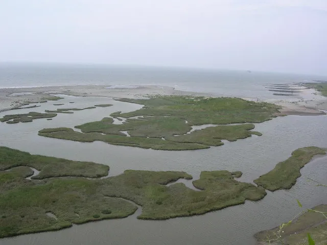
 Photo: South Wales, via yayforvacay.com
Case Study: Saving Stoke-on-Trent's Underground Secrets
Stoke-on-Trent exemplifies both the challenge and the solution. Centuries of pottery manufacturing left the city honeycomb with clay extraction tunnels, many dating to the 1600s and poorly documented. Traditional surveying methods proved inadequate for mapping this underground maze, leaving residents and planners guessing about subsurface stability.
Enter the Stoke Underground Mapping Project, a collaboration between the city council, Keele University, and private sector partners. Using combined gravity and LiDAR surveys, the team mapped over 200 square kilometres of urban area, identifying 847 potential underground voids—including several directly beneath critical infrastructure.
"We discovered a Victorian tunnel system running directly under the city's main hospital," recalls project director Dr. Sarah Williams. "Without this mapping, a collapse could have been catastrophic. Now we can monitor these areas and plan appropriately for any necessary remediation."
The project's success led to similar initiatives across Britain's former industrial heartlands. Birmingham, Sheffield, and Newcastle have all launched comprehensive underground mapping programmes, creating detailed subsurface databases that inform everything from construction planning to emergency response strategies.
Innovation from Unexpected Places
Some of the most innovative underground mapping solutions come from surprising sources. GeoVoid Analytics, a startup founded by former video game developers in Brighton, applies machine learning algorithms originally designed for virtual world generation to predict underground void locations based on historical maps, geological surveys, and surface observations.
"We're essentially teaching computers to think like Victorian miners," explains company founder David Park. "Our algorithms can predict where historical excavations most likely occurred, even when documentation is incomplete or lost. It's like archaeological predictive modelling meets artificial intelligence."
Their software has successfully identified over 400 previously unknown mine shafts across Cornwall's tin mining region, each verified through subsequent physical investigation. The company now works with local authorities across Britain to prioritise areas for detailed gravity and LiDAR surveys.
The Economics of Prevention
The financial case for comprehensive underground mapping is compelling. The 2013 M2 motorway collapse cost over £5 million in emergency repairs and traffic disruption—money that could have funded underground mapping for entire counties. Insurance claims for subsidence damage average £300 million annually, much of which could be prevented through better understanding of subsurface risks.
"Prevention is always cheaper than cure," argues Jonathan Hayes, risk assessment director at Municipal Insurance Services. "Comprehensive underground mapping pays for itself many times over through reduced emergency response costs, better infrastructure planning, and more accurate insurance pricing."
Local authorities are beginning to recognise this economic reality. Derbyshire County Council's £2.3 million investment in county-wide underground mapping has already prevented an estimated £47 million in potential damage through early identification of at-risk areas and proactive stabilisation measures.
Building Britain's Underground Atlas
The ultimate goal is a comprehensive national database of underground structures—a digital atlas of Britain's hidden depths that informs everything from house purchases to major infrastructure projects. The technology exists; what's needed now is coordinated effort and sustained investment.
"We're on the cusp of solving a problem that's plagued Britain for centuries," concludes Dr. Foster. "Underground mapping technology has reached the point where we can finally see clearly into the Earth itself. The question isn't whether we can map Britain's underground—it's how quickly we can get it done."
With climate change increasing the frequency of extreme weather events that can trigger subsidence, and urban development pressures pushing construction into previously avoided areas, the race to map Britain's underground is more urgent than ever. The technology to win that race is finally in our hands.