Security Through Cartography: Britain's Defence Infrastructure Faces Geographic Intelligence Crisis
The Hidden Vulnerabilities in Britain's Defence Mapping
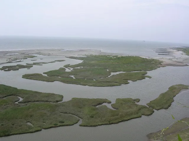
Across the rolling hills of Salisbury Plain and the remote reaches of the Scottish Highlands, Britain's military installations stand as sentinels of national security. Yet beneath the surface of these carefully guarded facilities lies a less visible but equally critical vulnerability: the geographic intelligence systems that underpin their security, logistics, and operational effectiveness are fragmenting under the weight of outdated cartographic protocols.
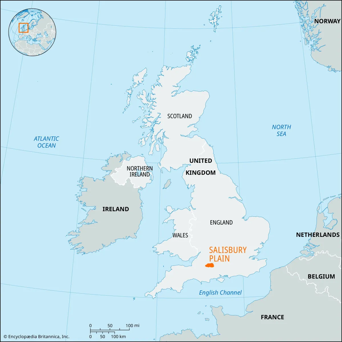 Photo: Salisbury Plain, via cdn.britannica.com
Recent declassified assessments reveal that discrepancies between civilian Geographic Information Systems (GIS) and classified military mapping datasets have created dangerous blind spots in perimeter security planning, airspace coordination, and emergency response protocols. These gaps represent more than administrative inconvenience—they constitute a fundamental threat to Britain's defence infrastructure in an era where precision matters more than ever.
The Civilian-Military Mapping Divide
The roots of this crisis lie in the historical separation between civilian and military cartographic systems. While Ordnance Survey maintains comprehensive civilian mapping coverage across Britain, military installations operate within classified geographic frameworks that often utilise different coordinate systems, elevation models, and feature classifications. This parallel existence of mapping universes has created a geographic Tower of Babel around some of Britain's most sensitive sites.
Consider RAF Fylingdales in North Yorkshire, where civilian mapping shows open moorland adjacent to what appears to be a modest installation. The reality, hidden within classified datasets, involves sophisticated radar arrays with precise electromagnetic field boundaries that extend far beyond visible infrastructure. When emergency services respond to incidents in surrounding areas using civilian mapping, they may unknowingly enter zones where their radio communications could interfere with critical early-warning systems.
 Photo: RAF Fylingdales, via c8.alamy.com
Airspace Anomalies and Planning Perils
The consequences of this geographic intelligence gap extend beyond ground-level security concerns. Britain's complex airspace management relies on precise coordination between civilian air traffic control and military flight operations. When civilian mapping databases fail to accurately reflect the full extent of military training areas or restricted zones, the results can cascade through the entire aviation system.
Recent planning disputes around MOD Boscombe Down illustrate this challenge. Local authority planning applications routinely reference civilian mapping that shows only basic facility outlines, while the actual operational footprint—including approach corridors, electromagnetic testing zones, and security perimeters—extends significantly beyond these simplified boundaries. This disconnect has led to approved developments that subsequently require expensive modifications or relocations when their interference with military operations becomes apparent.
Emergency Response in the Geographic Dark
Perhaps nowhere is the impact of fragmented military mapping more pronounced than in emergency response scenarios. When incidents occur on or near military installations, civilian emergency services must navigate using standard mapping systems that may not accurately reflect access routes, hazardous areas, or communication protocols specific to defence sites.
Former defence geographers describe scenarios where ambulance crews have been directed down roads that appear clear on civilian maps but terminate at classified checkpoints, or where fire services have been unable to locate specific buildings within military complexes because civilian addressing systems don't correspond to internal military grid references. These delays, measured in crucial minutes during emergency responses, highlight the human cost of geographic intelligence fragmentation.
The Technology Integration Challenge
Modern defence operations increasingly rely on sophisticated geospatial technologies that must integrate seamlessly with civilian infrastructure. From drone operations requiring precise no-fly zone mapping to cyber-security systems that monitor geographic patterns of network intrusion attempts, military effectiveness depends on accurate spatial intelligence that spans the civilian-military divide.
Yet current systems often operate in isolation, with military geographic databases unable to incorporate real-time updates from civilian infrastructure monitoring, and civilian emergency planning systems lacking access to critical spatial information about nearby defence installations. This segregation reduces the effectiveness of both civilian and military operations while creating unnecessary vulnerabilities.
Towards Unified National Security Mapping
Addressing these challenges requires a fundamental rethinking of how Britain approaches sensitive-zone mapping. Rather than maintaining parallel systems that occasionally intersect, defence planners and civilian authorities need integrated geographic intelligence frameworks that can selectively share appropriate spatial information while maintaining necessary security protocols.
Successful models from allied nations suggest that hybrid mapping systems—combining openly available base layers with classified overlay data accessible only to authorised users—can provide the spatial intelligence coordination necessary for effective defence while maintaining operational security. Such systems would allow emergency services to access essential routing and hazard information without compromising sensitive military capabilities.
The Path Forward
Britain's defence infrastructure faces geographic challenges that extend far beyond traditional perimeter security. As military operations become increasingly dependent on precise spatial intelligence and coordination with civilian systems, the current fragmentation of mapping capabilities represents a growing vulnerability that demands urgent attention.
The solution lies not in choosing between security and coordination, but in developing sophisticated geographic intelligence systems that can provide both. By investing in integrated mapping platforms that selectively share spatial information based on clearance levels and operational needs, Britain can strengthen both its defence capabilities and its civilian emergency response effectiveness.
In an era where geographic precision can mean the difference between mission success and catastrophic failure, Britain's military installations deserve mapping systems as sophisticated as the operations they support. The question is not whether we can afford to upgrade our defence geographic intelligence—but whether we can afford not to.