The Ground Beneath Our Feet Is Moving: Why Britain's Geodetic Reckoning Cannot Wait
Photo: LubGua987, CC BY-SA 4.0, via Wikimedia Commons
The Ground Beneath Our Feet Is Moving: Why Britain's Geodetic Reckoning Cannot Wait
Precision, in the language of civil engineering, is measured in millimetres. The tolerance on a tunnel boring machine's trajectory, the anchoring geometry of a monopile foundation on the seabed, the alignment of a bridge expansion joint — each of these depends upon a coordinate system that engineers can trust to be consistent, accurate, and physically meaningful. Britain's national coordinate reference system, OSGB36, is none of these things. It never was, by modern standards. But for most of the twentieth century, the discrepancies were small enough to ignore. They are no longer.
The United Kingdom sits on the Eurasian tectonic plate, which is moving north-eastward at approximately 2.5 centimetres per year relative to the geocentric reference frame used by satellite navigation systems. OSGB36, derived from a triangulation survey conducted between 1936 and 1962, is anchored to a snapshot of the Earth's surface that is now decades out of date. Every coordinate expressed in the British National Grid carries within it a positional error relative to GPS-derived positions — an error that has been growing since the first GPS satellite was launched, and that now amounts to several metres in some parts of the country.
What a Datum Actually Is — and Why It Matters
For readers unfamiliar with geodesy, a datum is the mathematical model of the Earth's shape and orientation against which coordinates are measured. OSGB36 uses the Airy ellipsoid, a best-fit approximation of the Earth's surface over the British Isles calculated in the nineteenth century. Modern satellite navigation systems — GPS, Galileo, GLONASS — use the WGS84 ellipsoid, a global best-fit model that is fundamentally incompatible with Airy at the precision levels demanded by contemporary infrastructure engineering.
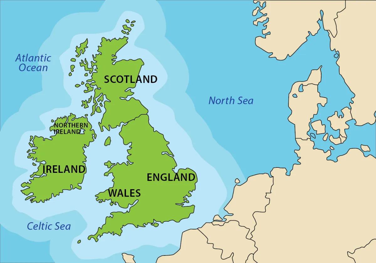 Photo: British Isles, via static.vecteezy.com
Ordnance Survey has long provided a transformation model — OSTN15 — that converts between WGS84 and OSGB36 with sub-decimetre accuracy across most of Great Britain. For many applications, this is sufficient. A land registry boundary polygon does not need to know where it is to the nearest centimetre. A planning application for a residential extension does not require geodetic rigour.
 Photo: Ordnance Survey, via www.muchbetteradventures.com
But a 15-kilometre tunnel bored under a major conurbation does. An offshore wind turbine foundation installed in 40 metres of water does. A precision agricultural application guiding autonomous machinery across a 500-hectare farm does. And it is precisely in these high-stakes, high-precision contexts that the limitations of OSGB36 — and the static nature of OSTN15 — are beginning to manifest as real, quantifiable problems.
The Dynamic Datum Question
The fundamental issue is that OSGB36 is a static datum: it does not account for the ongoing movement of the British landmass. A coordinate assigned to a point in Aberdeen in 1962 describes a different physical location today, because the ground has moved. In practical terms, this means that a GPS receiver — which operates in a geocentric, dynamic reference frame — will report a position that differs from the OSGB36 coordinate for the same physical point by an amount that varies across the country and increases over time.
The solution, advocated by geodesists at Ordnance Survey and the Natural Environment Research Council's British Geological Survey for well over a decade, is the adoption of a dynamic coordinate reference system: one that incorporates a velocity model describing the ongoing movement of the British Isles, and that allows coordinates to be expressed at a specific epoch — a moment in time — rather than as static values.
The Geospatial Commission's 2020 UK Geospatial Strategy acknowledged the importance of this transition. Ordnance Survey has published technical documentation on the proposed British National Grid Transformation (OSTN15 and its successors). The British Standards Institution has committees that, in principle, could mandate adoption timelines for the construction and infrastructure sectors. Yet, as of 2024, no such mandate exists. The transition remains voluntary, poorly understood outside specialist geodetic circles, and almost entirely absent from the training curricula of the civil engineering and surveying professions.
The Cost of Inaction
The financial consequences of geodetic complacency are difficult to quantify precisely — which is, ironically, part of the problem. When a tunnel segment misaligns by three centimetres, the cause is rarely attributed to a coordinate reference system error in the post-project review. It is attributed to survey instrument calibration, contractor methodology, or ground conditions. The geodetic contribution to positional uncertainty is absorbed into contingency budgets and change orders without ever being explicitly identified.
However, the academic literature on infrastructure geodesy is increasingly clear. A 2022 paper published in the Journal of Applied Geodesy estimated that coordinate reference system inconsistencies across the UK's major infrastructure projects contribute between 0.3 and 0.8 per cent of total project cost in rework, re-survey, and design revision. Applied to the current UK infrastructure pipeline — valued at over £650 billion across the next decade — this represents a potential exposure of between £2 billion and £5 billion that could be substantially mitigated by a coordinated geodetic transition.
Offshore energy development is particularly exposed. The anchoring geometry of floating offshore wind platforms, the cable routing between turbines and export substations, and the seabed survey data used to characterise foundation conditions are all expressed in coordinate systems that must be reconciled — often imperfectly — between the WGS84-based positioning of survey vessels and the OSGB36-based datasets maintained by the Crown Estate and the UK Hydrographic Office.
A Path Forward
The technical pathway to a modern geodetic framework is well understood. What is required is a commitment from the Geospatial Commission, working in partnership with the BSI, Ordnance Survey, and the relevant professional bodies — the Chartered Institution of Civil Engineering Surveyors, the Royal Institution of Chartered Surveyors, and the Chartered Institution of Building Services Engineers — to establish a mandatory transition timeline for public sector infrastructure projects.
This transition need not be disruptive. A phased approach, beginning with major infrastructure procurement — where the positional accuracy requirements are greatest and the financial exposure most significant — and extending progressively to planning, land registration, and utility asset management, would allow the geospatial and engineering professions to develop the tools, training, and workflows required without creating a cliff-edge transition.
Britain's infrastructure ambitions are substantial. The offshore wind targets alone demand a level of precision engineering that OSGB36, in its current static form, cannot reliably support. The ground beneath our feet is moving. It is time our maps acknowledged the fact.