Uncharted Altitude: The Three-Dimensional Data Crisis Threatening Britain's Drone Economy

Uncharted Altitude: The Three-Dimensional Data Crisis Threatening Britain's Drone Economy
For most of the history of cartography, maps have been fundamentally flat. Even when they have depicted terrain, elevation, or depth, they have done so as representations on a surface — tools for navigating a world understood primarily in two dimensions. Britain's geospatial infrastructure, however sophisticated, remains largely a product of that tradition. And it is precisely this tradition that is now failing the country as commercial drone operations transform the vertical dimension from an abstraction into a contested operational environment.
The scale of that transformation is not speculative. The UK drone market is projected to contribute billions to the national economy over the coming decade. Logistics firms are actively trialling autonomous delivery in suburban settings. The emergency services are deploying unmanned aerial vehicles for search and rescue, incident assessment, and — in some forces — routine patrol. Urban air mobility, encompassing everything from air taxis to autonomous cargo aircraft, is no longer a distant prospect. It is an engineering and regulatory challenge that several British cities are already preparing to receive.
Yet the three-dimensional mapping infrastructure that all of this activity requires does not exist in any coherent national form. What exists instead is a patchwork — technically functional in parts, institutionally fragmented throughout, and increasingly inadequate as operational complexity grows.
Three Bodies, Three Frameworks, No Consensus
The Civil Aviation Authority (CAA) is the primary regulatory authority for UK airspace. Its geographic designations — controlled airspace, restricted zones, danger areas, and the various categories of uncontrolled airspace — are codified in the UK Integrated Aeronautical Information Package and reflected in digital platforms such as NATS's Aeronautical Information Service. These frameworks were designed for manned aviation, and they operate at altitudes and scales appropriate to that purpose.
For drone operations, which predominantly occur below 400 feet and often within metres of complex urban structures, the CAA's inherited airspace classifications provide only a partial picture. The Drone and Model Aircraft Code, and the associated operational authorisation regime, imposes additional geographic constraints that are not consistently reflected in the same datasets used by manned aviation. Operators navigating this environment must cross-reference multiple sources, none of which offers a single authoritative view of what is and is not permissible at a given location and altitude.
National Air Traffic Services (NATS), meanwhile, maintains its own operational geographic data, oriented towards the management of en-route and terminal airspace for commercial aviation. Its interests in the low-level drone environment are real — particularly around major airports and the approach and departure corridors that intersect with urban airspace — but its data standards and update cycles are not calibrated for the granularity that drone operations demand.
Local planning authorities introduce a third, entirely distinct layer of geographic complexity. Councils across Britain have begun imposing their own restrictions on drone activity over parks, conservation areas, and public events. These restrictions are legally grounded in various planning and public order instruments, but they are not systematically captured in any national geospatial dataset. A drone operator seeking to fly over a specific urban location may be fully compliant with CAA regulations and NATS airspace designations while unknowingly contravening a local authority restriction that exists only in a PDF published on the council's website.
The Volumetric Mapping Gap
Underlying all of these institutional divisions is a more fundamental technical problem: Britain lacks a comprehensive volumetric geographic dataset capable of representing the urban environment in three dimensions at the resolution that autonomous drone operations require.
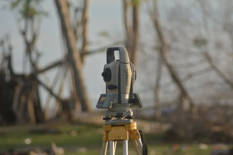
Effective drone corridor planning demands knowledge not only of airspace designations but of the physical obstacles that define the navigable volume at low altitude: buildings, telecommunications masts, power lines, trees, and the dynamic obstructions introduced by cranes, scaffolding, and construction activity. Some of this information exists in fragmented forms — within local authority planning records, utility company asset registers, and Ordnance Survey's building height data — but it has not been integrated into a unified, machine-readable, continuously updated three-dimensional model of the built environment.
The consequences of this absence are practical and immediate. Automated flight planning systems, which drone operators are increasingly required to use for beyond visual line of sight operations, cannot reliably compute safe corridors through urban environments without accurate volumetric data. Insurers struggle to price drone operations appropriately without understanding the true complexity of the airspace through which those operations will pass. Emergency services deploying drones in unfamiliar urban areas face genuine uncertainty about the obstacle environment they are entering.
Trials in the Margins
It would be inaccurate to suggest that no progress is being made. The CAA's Innovation Hub and the Future Flight Challenge, funded through UK Research and Innovation, have supported a number of projects exploring elements of the volumetric mapping problem. Several Urban Air Mobility demonstrator projects — in cities including Coventry, which has positioned itself as a testbed for advanced air mobility — are generating granular local datasets that may eventually inform a more comprehensive national picture.
Ordinance Survey has taken tentative steps towards richer three-dimensional data products, and its collaboration with the Geospatial Commission has produced frameworks that acknowledge the need for volumetric representation. But frameworks are not datasets, and acknowledgement is not delivery.
The Geospatial Commission's UK Location Programme has articulated a vision for a National Underground Asset Register and associated spatial data infrastructure. The vertical dimension above ground has received considerably less systematic attention, despite the economic and safety stakes being arguably comparable.
The Cost of Institutional Inertia
The fundamental obstacle to progress is not technical capacity. Britain possesses the expertise, the satellite infrastructure, the LiDAR survey capability, and the data science talent to construct a credible national volumetric dataset. The obstacle is governance: specifically, the absence of any single body with both the mandate and the resources to own the problem end to end.
The CAA's remit is regulatory. NATS is operationally focused on manned aviation. Ordnance Survey is a trading fund with commercial as well as public obligations. Local authorities are resource-constrained and institutionally fragmented. The Geospatial Commission has a coordinating role but limited executive power.
Until Britain designates a clear institutional home for national volumetric mapping — and funds it appropriately — the drone economy will continue to expand into airspace that is, in every meaningful geospatial sense, uncharted. The sky, it turns out, is not the limit. The map is.