Geographic Triage: How NHS Resource Mapping Failures Create Healthcare Deserts Across Britain

The Hidden Geography of Healthcare Inequality
Every day across Britain, the difference between life-saving medical intervention and tragic delay can be measured not just in minutes, but in metres. The geographic algorithms that determine where ambulances are stationed, how specialist services are distributed, and which patients can access which treatments are quietly shaping health outcomes in ways that most Britons never consider—until they need urgent care and discover they live in a healthcare desert disguised as adequate provision.
Recent analysis of NHS commissioning data reveals a troubling reality: the geographic intelligence systems underpinning healthcare resource allocation across England, Wales, Scotland, and Northern Ireland are failing to reflect how people actually live, work, and travel in modern Britain. The result is a postcode lottery of care that goes far beyond the familiar disparities between urban and rural provision, creating systematic inequalities that persist even in apparently well-served areas.
The Flawed Foundation of Healthcare Geography
At the heart of this crisis lies a fundamental misunderstanding of how geographic space translates into healthcare accessibility. NHS commissioning decisions continue to rely heavily on crude distance calculations and administrative boundary mapping that treats all terrain, transport links, and population movements as equivalent. A three-mile journey across central Manchester receives the same weighting as a three-mile trek across the Pennines, despite representing vastly different accessibility challenges for patients requiring regular treatment.
This geographic oversimplification becomes particularly problematic when applied to ambulance service deployment. Current models typically assume that emergency response times can be optimised through simple radius-based coverage calculations, positioning ambulances to serve theoretical circular catchment areas. Yet real-world response patterns reveal how traffic congestion, road network topology, and geographic barriers create complex accessibility landscapes that bear little resemblance to these simplified models.
Consider the case of South Wales valleys, where communities separated by mere miles may require ambulance journeys of thirty minutes or more due to mountainous terrain and limited valley road networks. Despite appearing adequately covered on standard NHS resource maps, these communities face response times that would be considered unacceptable in urban areas with equivalent theoretical coverage.
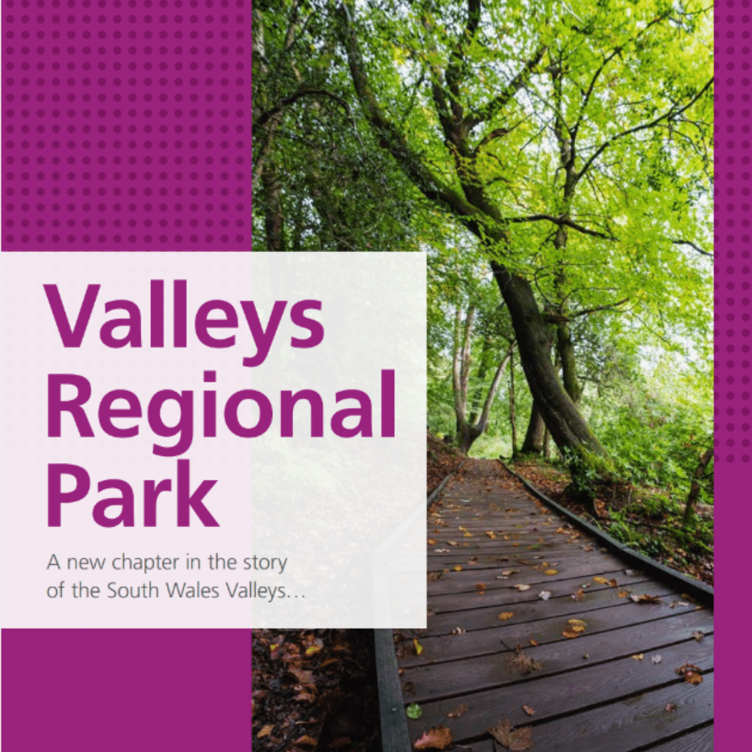 Photo: South Wales valleys, via valleysregionalpark.wales
The Commissioning Algorithm Crisis
The geographic intelligence failures affecting NHS resource allocation extend far beyond emergency services into the fundamental architecture of healthcare commissioning. Clinical Commissioning Groups and Integrated Care Systems rely on population mapping that often fails to account for daily movement patterns, seasonal variations, and the complex ways that modern Britons access healthcare services.
Traditional healthcare geography assumes that patients primarily seek treatment near their registered address, leading to resource allocation models based on residential population density. Yet analysis of actual patient journey data reveals dramatically different patterns, particularly in areas with significant commuter populations or seasonal demographic shifts.
In tourist-heavy regions like the Lake District or Cornwall, resident population mapping suggests adequate healthcare provision, while actual demand during peak seasons can overwhelm local services by factors of three or four. Similarly, major employment centres like Canary Wharf or Manchester's business district experience massive daily population influxes that existing healthcare geographic models fail to capture, leaving hundreds of thousands of workers dependent on healthcare infrastructure sized for much smaller residential populations.
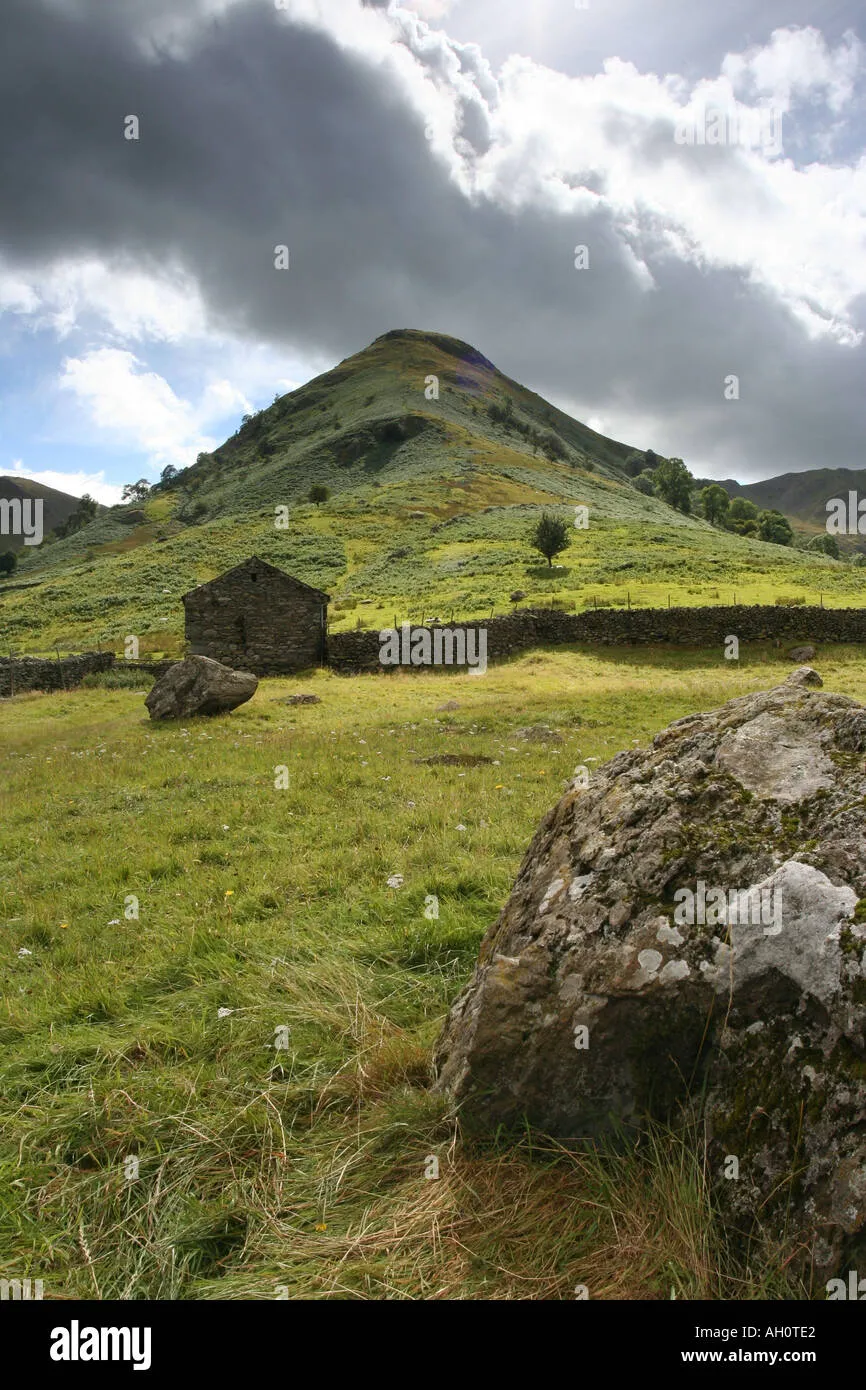 Photo: Lake District, via c8.alamy.com
The Specialist Service Geography Gap
Perhaps nowhere is the impact of flawed healthcare geography more pronounced than in specialist service provision. Current models for distributing cancer centres, cardiac units, and other high-acuity services rely on population catchment calculations that assume patients can travel freely within theoretical service areas. The reality is far more complex, with transport poverty, disability, and geographic barriers creating effective healthcare deserts within supposedly well-served regions.
Recent mapping analysis reveals that significant portions of Britain's population live more than ninety minutes' journey time from essential specialist services, despite appearing within acceptable distance thresholds when measured by simple geographic radius. These accessibility shadows are particularly pronounced in areas where administrative boundaries fail to reflect natural travel patterns—such as communities in Gloucestershire that are closer to Welsh hospitals than to their designated English specialist centres, but face bureaucratic barriers to accessing cross-border care.
The Digital Divide in Healthcare Access
The COVID-19 pandemic accelerated the adoption of telemedicine and digital healthcare services, creating new geographic dimensions to healthcare accessibility that existing mapping systems struggle to capture. While digital health services theoretically eliminate distance barriers, they create new forms of geographic inequality based on broadband infrastructure, digital literacy, and technology access patterns.
Rural communities that appeared to benefit from improved healthcare accessibility through telemedicine often discovered that inadequate broadband infrastructure made reliable video consultations impossible. Meanwhile, urban areas with excellent digital connectivity but limited physical healthcare infrastructure became increasingly dependent on digital services that cannot replace hands-on medical examination and treatment.
Current NHS resource mapping fails to integrate these digital accessibility factors, leading to commissioning decisions that assume universal digital healthcare access while maintaining physical service provision based on outdated geographic assumptions.
Transport Poverty and Medical Accessibility
The relationship between transport infrastructure and healthcare access represents one of the most overlooked aspects of medical geography in Britain. NHS resource allocation models typically assume that patients can access services within reasonable travel times, but fail to account for the complex realities of public transport provision, car ownership patterns, and the specific mobility challenges faced by many healthcare users.
In practice, a twenty-minute car journey to a district hospital may represent a two-hour public transport odyssey involving multiple connections, extended waiting times, and significant financial cost. For elderly patients, disabled individuals, or families without reliable transport, these accessibility barriers can effectively exclude entire communities from timely healthcare access, despite appearing adequately served on conventional healthcare maps.
Reimagining Healthcare Geography for Modern Britain
Addressing these geographic intelligence failures requires a fundamental transformation in how the NHS approaches spatial analysis and resource allocation. Rather than relying on simplified distance calculations and administrative boundary mapping, healthcare commissioning needs sophisticated geographic intelligence systems that can model real-world accessibility patterns, transport poverty, and population movement dynamics.
Successful examples from other sectors suggest that integrated geographic intelligence platforms—combining real-time traffic data, public transport scheduling, demographic analysis, and healthcare utilisation patterns—can provide far more accurate pictures of healthcare accessibility than current methods. Such systems would enable commissioning decisions based on actual patient journey times rather than theoretical distance calculations.
The Urgent Need for Geographic Health Equity
Britain's healthcare system prides itself on providing universal access to medical care, yet the geographic intelligence systems that translate this principle into resource allocation decisions are systematically failing entire communities. The result is a hidden geography of healthcare inequality that undermines the NHS's foundational commitment to care based on need rather than ability to pay.
Resolving this crisis requires more than technical improvements to mapping systems—it demands a fundamental recognition that healthcare equity cannot be achieved without geographic equity. By investing in sophisticated spatial intelligence systems that can accurately model healthcare accessibility across Britain's complex geographic and social landscape, the NHS can begin to deliver on its promise of truly universal care.
The health of Britain's communities should not be determined by the accident of their coordinates. It is time to ensure that our healthcare geography serves all Britons, wherever they call home.