The Paradox of Modern Farming
Across Britain's countryside, a technological revolution unfolds daily. GPS-guided tractors navigate fields with centimetre precision, drones map crop health in real-time, and satellite imagery guides variable-rate fertiliser application. Yet beneath this veneer of agricultural sophistication lies a fundamental contradiction: the very land these technologies operate upon remains trapped in mapping systems designed for a pre-digital era.
The consequences extend far beyond inconvenience. British farmers collectively lose millions of pounds annually due to misaligned field boundaries, incorrect soil classification data, and fragmented drainage rights records that fail to integrate with modern precision agriculture platforms.
Legacy Systems Meet Modern Demands
The root of this crisis lies in the patchwork nature of Britain's rural geospatial infrastructure. Ordnance Survey's rural datasets, whilst comprehensive in coverage, often reflect field boundaries surveyed decades ago. Agricultural land use changes rapidly—hedgerows are removed, fields consolidated, drainage systems modified—yet these transformations frequently go unrecorded in official mapping systems.
Simultaneously, the Department for Environment, Food and Rural Affairs operates its own parallel mapping universe through the Rural Payments Agency. The Common Agricultural Policy parcel mapping system, essential for subsidy calculations, employs different coordinate systems, boundary definitions, and update cycles from standard OS datasets. This creates a fundamental disconnect where a single field might exist in multiple, contradictory digital forms.
"We have farmers running £300,000 combines guided by satellite navigation, but they can't definitively prove which parts of their land qualify for environmental stewardship payments," explains Dr Sarah Mitchell, agricultural technology consultant at the University of Reading. "The precision of the machinery highlights the imprecision of the underlying data."
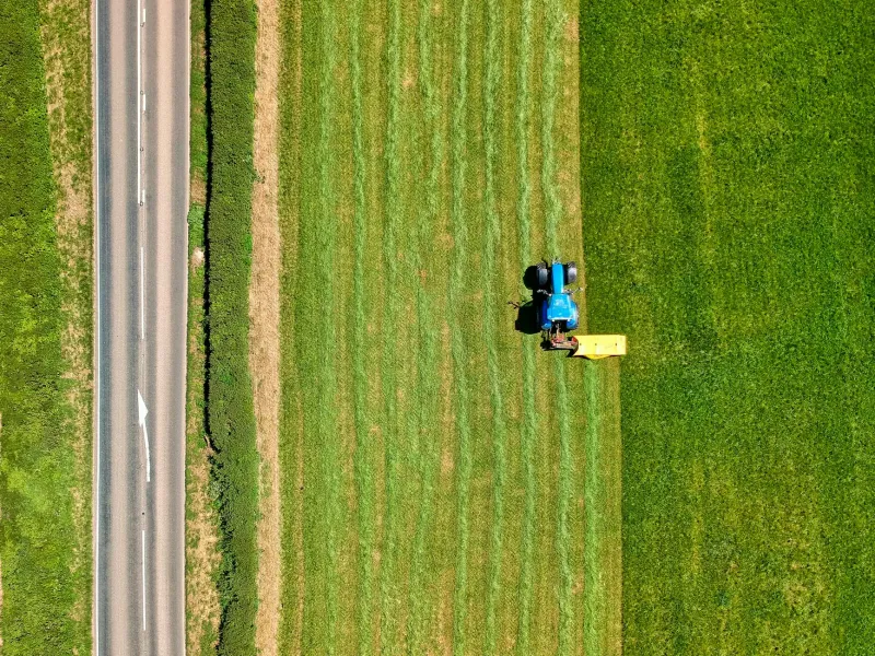
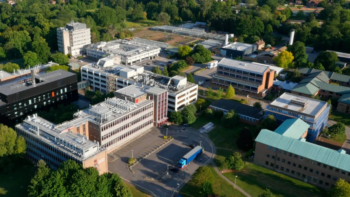 Photo: University of Reading, via cdn.universitycompare.com
The Cost of Confusion
This geospatial discord manifests in tangible financial losses across the agricultural sector. Precision agriculture relies on accurate field boundary data to optimise input application—fertilisers, pesticides, and seeds applied beyond actual field boundaries represent pure waste. Conservative estimates suggest British farmers lose £15-20 million annually through such miscalculations.
Subsidy miscalculations present an even larger problem. The Rural Payments Agency's 2022 audit revealed that 12% of Basic Payment Scheme applications contained area discrepancies exceeding acceptable tolerance levels. Many resulted from genuine confusion over field boundaries rather than deliberate fraud, yet the financial penalties remain severe.
Drainage rights disputes, meanwhile, can paralyse farm operations entirely. Ancient drainage systems, often predating comprehensive mapping, create complex networks of rights and responsibilities. When modern precision agriculture identifies waterlogged areas requiring improved drainage, farmers frequently discover that legal drainage rights don't align with physical field boundaries or soil management zones.
Technology Trapped by Tradition
The irony deepens when examining the technological capabilities already deployed across British agriculture. Many farms possess more sophisticated geospatial equipment than local planning authorities. Drones equipped with multispectral cameras can identify crop stress patterns invisible to human observers. Variable-rate application systems can adjust seed density metre by metre based on soil conductivity mapping.
Yet this technological sophistication cannot overcome fundamental data fragmentation. A Lincolnshire arable farm might employ five different coordinate systems across its operations: OS National Grid for land registry purposes, WGS84 for GPS machinery, the RPA's own system for subsidy applications, local authority systems for planning permissions, and Environment Agency systems for environmental compliance.
"Each dataset tells a slightly different story about the same piece of land," notes James Crawford, precision agriculture specialist at Harper Adams University. "Farmers spend more time reconciling mapping systems than analysing the agricultural insights those systems could provide."
 Photo: Harper Adams University, via cdn.harper-adams.ac.uk
Towards Integrated Solutions
Several pioneering organisations are developing solutions to bridge this geospatial divide. The Agriculture and Horticulture Development Board has launched pilot projects integrating precision agriculture data with official land records, creating unified platforms that speak multiple mapping languages simultaneously.
Private sector innovation is also emerging. Companies like FarmIQ and AgSpace are developing translation layers that automatically reconcile different coordinate systems and boundary definitions, allowing farmers to work with unified datasets regardless of their underlying complexity.
The most promising developments, however, involve collaborative approaches between government agencies, technology providers, and farming organisations. The DEFRA-led Future Farming Resilience Fund includes specific provisions for geospatial data standardisation projects, recognising that coherent mapping infrastructure represents essential national agricultural infrastructure.
A Blueprint for Reform
A truly coherent national agricultural geospatial framework requires several fundamental shifts. First, standardised coordinate systems across all government agricultural datasets. Second, regular update cycles that reflect the dynamic nature of agricultural land use. Third, open data policies that allow private sector agricultural technology to integrate seamlessly with official records.
Most critically, such a framework must recognise that agricultural land exists in multiple valid states simultaneously—legal boundaries for ownership, operational boundaries for management, environmental boundaries for compliance, and economic boundaries for subsidy purposes. Rather than forcing artificial uniformity, successful systems must accommodate this complexity whilst maintaining internal consistency.
The technology exists to solve Britain's agricultural mapping crisis. The question remains whether institutional inertia and bureaucratic boundaries will yield to the precision demands of modern farming. For an industry facing unprecedented pressures from climate change, post-Brexit trade arrangements, and sustainability requirements, getting the geography right has never been more essential.