Convenience Interrupted: Why Britain's Public Toilet Network Needs a National Location Standard

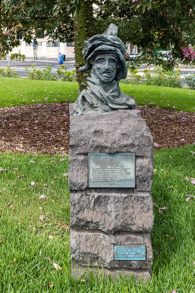
Photo: Brutalhovno, CC BY-SA 3.0, via Wikimedia Commons
Public conveniences are among the most mundane pieces of urban infrastructure, and among the most consequential for anyone who cannot rely on a car, a private office, or a familiar high street. Yet the digital record of Britain's public toilets remains remarkably fragile. A facility may exist on a council's asset list, appear on one mapping platform, vanish from another, and persist as a ghost pin years after closure. For disabled people, families with young children, and older residents, that inconsistency is not a minor inconvenience. It is a barrier to planning a journey at all.
The Accessibility Stakes
Accessible toilet provision is a public health and equality issue, not a lifestyle amenity. People with mobility impairments, bowel and bladder conditions, or caring responsibilities often plan routes around known facilities. Changing Places toilets, which offer hoists and adult changing benches, are even more sparsely distributed and more dependent on accurate location data. If a journey-planning app sends someone to a locked building, a demolished block, or a toilet that closed two years ago, the cost is measured in dignity, pain, and abandoned trips.
The problem is not simply that some toilets are missing from the map. It is that the map disagrees with itself. Local authority websites, openstreetmap contributors, commercial navigation platforms, and accessibility charities all maintain partial records. Each may use a different name, opening-hours convention, access condition, or coordinate precision. A toilet recorded at the centroid of a shopping centre is not the same as a toilet recorded at the door of its accessible cubicle.
How Toilet Data Goes Stale
Public toilet data decays quickly because provision itself is volatile. Councils facing budget pressures have transferred facilities to town councils, community groups, businesses, or contractors. Some have closed toilets outright. Others have introduced Radar key schemes, charged entry, or reduced hours. Each change creates a data event, but there is no common obligation to publish that event in a machine-readable form. The result is a layer of location data that looks authoritative while quietly falling out of date.
Contractor changes compound the problem. When a cleaning or facilities-management contract moves from one supplier to another, the physical toilet may remain open while the digital record is recreated from scratch. Names change, coordinates are re-entered imprecisely, and accessibility attributes are lost. A national standard would not prevent closures, but it would make the public record of those closures visible and reusable.
The Contractor Carousel
Procurement is where much toilet data quietly dies. A council may hold a list of facilities in a spreadsheet, a contractor may hold opening times in a PDF, and a tourism website may hold a third version for visitors. None of these formats is designed to be joined up, and none is necessarily published under an open licence. When budgets are cut, maintenance of the public-facing map is often the first task to go.
This is a familiar pattern in local public services: the physical asset survives, but the data steward disappears. A national standard should therefore specify not only what fields must be published, but who is accountable for updating them and how often. Without that governance layer, even a well-designed schema will drift.
What a National Standard Should Contain
A workable standard for public conveniences would be modest but precise. It should require a stable identifier, an address matched to a national address gazetteer, and coordinates precise enough to identify the entrance rather than the building centroid. It should record opening hours in a structured format, access conditions, whether a charge applies, and whether a Radar key is needed. Accessibility attributes should include step-free access, grab rails, turning space, and the presence of a Changing Places facility.
Crucially, the standard should include a status field for temporary closure, refurbishment, or permanent removal. It should also allow a facility to be linked to the organisation responsible for it. These are not exotic requirements. They are the minimum needed for the data to be useful to a journey planner, a council contact centre, or an accessibility app.
Ground Truth and Governance
Publishing a standard is only the beginning. Local authorities and contractors need a lightweight route to verify coordinates and attributes, ideally through periodic ground-truthing rather than annual desk exercises. Community mapping groups can help, but they should not be the only backstop. A national dataset needs a maintainer, a revision history, and a clear route for the public to report errors.
Britain already has the ingredients for this: address gazetteers, open data portals, and a mature geospatial community. What it lacks is a common expectation that public toilet location data is public infrastructure in its own right. Until that changes, the digital map of Britain's conveniences will remain a patchwork of good intentions and stale pins. For the people who most need it, that is not good enough.