Five Blind Spots in Britain's Retrofit Map: Where Property Data Fails the Green Upgrade
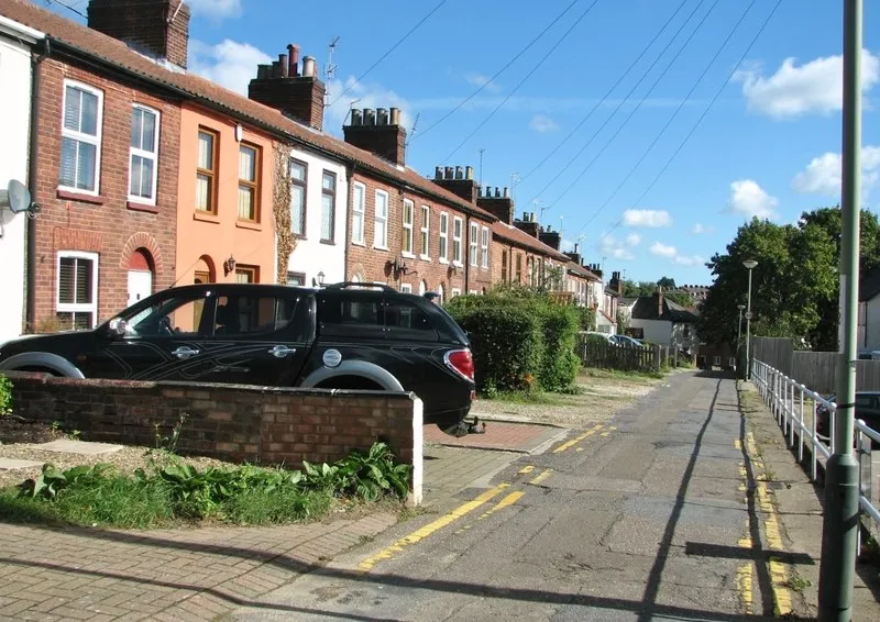
Photo: Evelyn Simak , CC BY-SA 2.0, via Wikimedia Commons
Retrofit is fundamentally a geographic problem. Before a council, housing association, or energy supplier can decide where to insulate, heat-pump, or draught-proof, it needs to know what the building is, how it is used, and what constraints apply. That sounds straightforward until the layers are joined up. Energy Performance Certificates, building stock models, heat pump suitability maps, heritage designations, and tenure records all describe the same property in different ways, at different vintages, and with different geographic precision. The result is a retrofit map with blind spots that can misdirect funding and undermine trust in green upgrades.
1. Off-Gas Rural Homes Hidden by Aggregated Grid Data
Rural homes without a mains gas connection are a priority for heat pump deployment and insulation funding. But the maps used to identify them often rely on aggregated distribution data rather than property-level records. A postcode may be flagged as off-gas when one or two properties are connected, or vice versa. The error matters because off-gas status drives eligibility and technology choice. A property wrongly assumed to be on the gas grid may be excluded from support, while a property wrongly assumed to be off-gas may receive advice that does not fit its actual heating system. Property-level verification, joined to address gazetteers and local knowledge, is essential.
2. Listed Buildings and Conservation Areas Without Address-Level Flags
Heritage constraints are rarely absent from retrofit conversations, but they are often absent from the property-level dataset. A listed building may appear in a national heritage register with a descriptive location, while the EPC record for the same building carries a different address format. Conservation areas are usually mapped as polygons, not as property attributes. That makes it difficult for a retrofit assessor to know, at the point of dispatch, whether a specific address falls within a sensitive area. The result can be wasted surveys, inappropriate advice, or unnecessary delays for owners who need consent.
3. Converted Flats with Inherited EPC Records
Energy Performance Certificates were introduced in 2007 for England and Wales, and the register has accumulated records across many building changes since then. A converted flat may inherit an EPC from the original house, or a later record may describe the building rather than the dwelling. When EPC data is joined to a building stock model by address, these inherited records can produce misleading ratings. A flat with a poor rating may be flagged for upgrade when the certificate actually refers to a different unit. Matching EPCs to Unique Property Reference Numbers and correcting address aliases would reduce a persistent source of error.
4. Tenure and Occupancy Blind Spots in the Private Rented Sector
Retrofit funding often depends on tenure. Owner-occupiers, social landlords, and private landlords face different incentives and eligibility rules. Yet tenure data is frequently held at a coarser geography than the property, or is out of date because a dwelling has changed hands. In the private rented sector, the occupier may be the person who experiences the retrofit, while the landlord is the person who must consent to it. A map that cannot distinguish between them will struggle to target engagement. Linking tenure records to address-level property identifiers, with appropriate privacy safeguards, would make schemes more precise.
5. Heat Pump Suitability Without Reliable Outdoor Space and Electrical Capacity Data
Heat pump suitability is often modelled from building fabric, floor area, and climate data. Those are useful inputs, but they can miss the practical constraints that determine whether an installation is feasible. Does the property have suitable outdoor space for an air source unit? Is the electrical supply adequate? Are there noise or planning constraints? These attributes are rarely available as property-level data, so suitability maps tend to overstate feasibility in dense urban areas and understate it in some rural settings. A more honest map would distinguish between theoretical suitability and installable suitability, and would show where a survey is required.
Joining the Layers Without Overclaiming
The common thread across these five gaps is not a lack of data. Britain has extensive property, energy, and heritage datasets. The problem is alignment. Addresses are formatted differently, identifiers are not always shared, and geographic precision varies from postcode to building centroid to individual dwelling. Retrofit mapping needs a property-level spine, ideally built on national address and property identifiers, with clear provenance for each attribute.
It also needs humility. A map that shows a heat pump suitability score without showing the uncertainty behind it invites overconfidence. A retrofit programme that targets streets rather than dwellings will miss the converted flats, the listed terraces, and the off-gas cottages that most need attention. The green upgrade will be delivered property by property, and the data should be built to match.