The Perfect Crime Hidden in Plain Sight
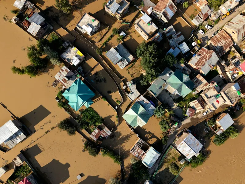
In the rolling hills of Gloucestershire, a farmer discovered last spring that 12 acres of his family's land had been sold to a property developer—without his knowledge or consent. The fraudster had exploited discrepancies between three separate mapping systems: the Land Registry's title plans, Ordnance Survey's boundary data, and historical tithe maps dating back to the 1840s. This case represents just the tip of an iceberg that costs Britain's rural economy an estimated £400 million annually.
The sophistication of modern land fraud belies its roots in Victorian-era record-keeping. Criminals have discovered that Britain's cadastral system—the comprehensive register of land ownership and boundaries—remains frustratingly fragmented across multiple agencies, each maintaining slightly different versions of the same geographic truth.
The Digital Divide in Land Records
Whilst urban properties benefit from relatively recent surveys and digital mapping, rural Britain still relies heavily on boundary definitions established during the great agricultural surveys of the 19th century. These historical records, originally drawn on paper maps at scales of 25 inches to the mile, have been digitised multiple times by different organisations, each introducing subtle variations that create exploitable inconsistencies.
The Land Registry holds legal title information but often references boundaries described in deeds that predate modern surveying techniques. Meanwhile, Ordnance Survey maintains the definitive topographic record, but their mapping priorities have historically focused on physical features rather than legal boundaries. Historical tithe maps, now digitised by county archives, provide yet another layer of potential contradiction.
"The problem isn't that any single system is wrong," explains Dr Sarah Mitchell, a geospatial analyst who has studied Britain's cadastral challenges for over a decade. "It's that they were created for different purposes at different times, using different methodologies. Fraudsters exploit these gaps with surgical precision."
The Anatomy of Rural Land Fraud
Modern land fraud typically follows a predictable pattern. Criminals identify parcels where boundary discrepancies exist between official records—often remote agricultural land or woodland where physical inspection is infrequent. They then create false documentation exploiting whichever mapping system provides the most favourable interpretation of ownership boundaries.
The most sophisticated operations involve multiple co-conspirators: individuals who forge seller identities, corrupt professionals who provide false documentation, and shell companies that launder the proceeds. By the time legitimate owners discover the fraud, the land has often been mortgaged or sold multiple times, creating a legal quagmire that can take years to resolve.
Northumberland Police's Rural Crime Unit reports that land fraud cases have increased by 340% since 2018, with the average case involving £2.3 million in disputed assets. "These aren't opportunistic crimes," notes Detective Inspector James Crawford. "They require detailed knowledge of mapping systems and legal processes. We're dealing with organised criminal networks that specifically target cadastral weaknesses."
The Technology Solution Britain Needs
Estonia provides a compelling model for what Britain could achieve with integrated cadastral mapping. Their unified land information system connects legal ownership, taxation, planning permissions, and environmental data in a single, real-time platform. Property transactions complete in minutes rather than weeks, and fraud is virtually eliminated through automatic cross-referencing between multiple data sources.
A similar system for Britain would require unprecedented cooperation between the Land Registry, Ordnance Survey, local planning authorities, and HM Revenue & Customs. The technology exists—blockchain-based land registries are already operational in several developing nations—but the institutional resistance remains formidable.
Vested Interests and Reform Resistance
The fragmented nature of Britain's land records isn't merely historical accident—it serves powerful interests that benefit from opacity. Large landowners often prefer the current system's ambiguities, which can reduce tax obligations and complicate compulsory purchase proceedings for infrastructure projects.
The legal profession also has little incentive to streamline property transactions that generate substantial fees from lengthy boundary disputes. Conveyancing solicitors earned an estimated £2.8 billion in 2023, much of it from resolving problems that integrated mapping could prevent.
"There's an entire ecosystem built around managing the chaos," observes property technology consultant Mark Harrison. "Reform threatens established revenue streams across multiple sectors."
The Path Forward
Despite institutional resistance, pressure for cadastral reform is mounting. The government's digital transformation agenda, combined with increasing fraud losses and public frustration with property transaction delays, is creating momentum for change.
Pilot projects in Devon and Kent are testing integrated mapping platforms that combine Land Registry titles with real-time Ordnance Survey data and local authority planning records. Early results suggest transaction times could be reduced by 60% whilst virtually eliminating boundary disputes.
The technology sector is also contributing solutions. Geospatial startups are developing automated boundary verification systems using satellite imagery, LIDAR data, and artificial intelligence to identify discrepancies between official records.
A National Priority
Britain's cadastral crisis extends far beyond rural land fraud. Inefficient property transactions constrain housing supply, complicate infrastructure development, and undermine investor confidence in UK property markets. The current system's opacity also facilitates money laundering and tax avoidance on an industrial scale.
Creating a unified, real-time cadastral platform would require substantial investment—estimated at £2.5 billion over five years—but the economic benefits would be transformational. Reduced fraud, faster transactions, and improved planning efficiency could generate annual savings exceeding £8 billion whilst strengthening Britain's position as a global property investment destination.
The question isn't whether Britain needs cadastral reform, but whether the political will exists to overcome entrenched interests that profit from the status quo. Until then, criminals will continue exploiting Victorian-era mapping errors to steal 21st-century wealth, one boundary dispute at a time.