The £100 Billion Question
When High Speed 2 was first conceived, planners envisioned a railway that would transform Britain's transport landscape. Today, with costs spiralling beyond £100 billion and completion dates pushed into the 2030s, the project has become something else entirely: a stark illustration of what happens when a nation's geospatial infrastructure fails to keep pace with its ambitions.
At the heart of HS2's troubles lies a problem that rarely makes headlines but affects every aspect of the project: Britain's fragmented approach to location data. From conflicting boundary records to outdated topographical surveys, the railway's route has been shaped as much by the limitations of our digital mapping ecosystem as by engineering considerations.
A Patchwork of Data Sources
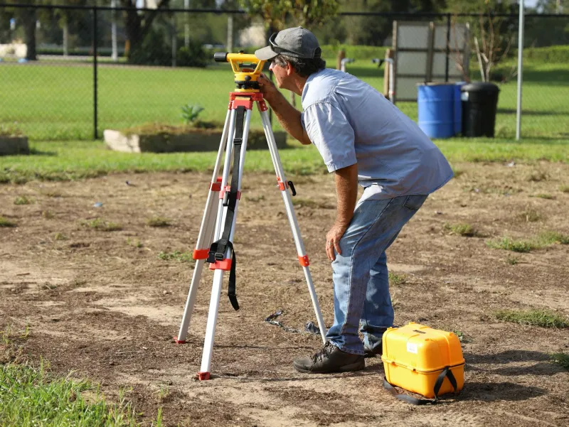
The challenge begins with the fundamental question of where things actually are. HS2's planners have had to navigate a labyrinth of data sources, each with its own standards, accuracy levels, and update cycles. Ordnance Survey maps, some dating back decades, provide one version of reality. Land Registry records offer another. Local authority planning databases add yet another layer.
Dr Sarah Mitchell, a geospatial analyst who has worked on major infrastructure projects, explains the complexity: "You might have three different government databases telling you three different things about the same piece of land. One says it's agricultural, another lists it as residential, and a third shows it as undeveloped. When you're planning a railway worth £100 billion, these discrepancies become extraordinarily expensive."
The consequences ripple through every aspect of the project. Environmental impact assessments based on outdated ecological surveys have had to be redone when ground surveys revealed different conditions. Property acquisition costs have soared when legal boundaries didn't match digital records. Archaeological surveys have uncovered significant sites that weren't properly flagged in heritage databases.
The Hidden Cost of Fragmentation
Perhaps nowhere is this fragmentation more costly than in land acquisition. HS2 Limited has had to purchase or secure rights over thousands of parcels of land, each transaction dependent on accurate location intelligence. Yet Britain's property ownership data remains surprisingly opaque, with an estimated 15% of land still unregistered and boundary disputes common even where registration exists.
The project's own documents reveal the scale of the challenge. Internal reports describe "significant discrepancies" between different mapping sources, leading to costly ground surveys and legal challenges. In some cases, planned route sections have had to be redesigned entirely when detailed surveys revealed that initial desktop assessments were based on inaccurate data.
Property compensation claims have been similarly affected. When boundaries are unclear or ownership disputed, the process of agreeing fair compensation becomes protracted and expensive. Legal costs alone have run into hundreds of millions, much of it stemming from fundamental disagreements about what lies where.
Technology Solutions Emerge Too Late
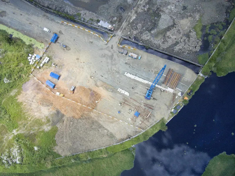
Ironically, many of the tools that could have prevented these problems already exist. Modern GIS systems can integrate multiple data sources, highlight discrepancies, and provide real-time updates. Satellite imagery and LiDAR scanning can create highly accurate baseline surveys. Blockchain technology offers new ways to create tamper-proof property records.
Some of these technologies are finally being deployed on HS2, but often as expensive fixes rather than foundational tools. The project has invested heavily in creating its own comprehensive geospatial database, essentially building the location intelligence infrastructure it should have had from the start.
Learning from International Examples
Other nations have taken more coordinated approaches to major infrastructure projects. Denmark's Great Belt Bridge project, completed in the 1990s, was built on a foundation of integrated geospatial data that brought together multiple government agencies from the planning stage. The result was a project completed on time and within budget.
More recently, Australia's approach to the Sydney Metro expansion has demonstrated how modern geospatial techniques can streamline infrastructure delivery. By creating a single, authoritative source of location data accessible to all project stakeholders, planners were able to identify and resolve potential conflicts before they became expensive problems.
The Path Forward
The lessons from HS2's geospatial challenges extend far beyond this single project. As Britain contemplates future infrastructure investments – from flood defences to renewable energy installations – the need for a truly integrated approach to location intelligence becomes ever more pressing.
The government's Geospatial Strategy, published in 2020, acknowledges many of these issues and sets out ambitious plans for improvement. However, implementation remains patchy, with different departments and agencies continuing to operate largely independent systems.
What's needed is nothing short of a revolution in how Britain thinks about location data. This means treating geospatial information as critical national infrastructure, with the same level of investment and coordination that we apply to transport or energy networks.
Beyond HS2: Building Better Foundations
For future projects to avoid HS2's pitfalls, several key changes are essential. First, Britain needs a single, authoritative source of property boundary data, accessible to all government departments and regularly updated. Second, environmental and heritage data must be integrated into a common platform that can flag potential conflicts early in the planning process.
Third, the planning system itself needs to embrace modern geospatial technologies. Interactive mapping tools could allow communities to engage more effectively with proposed developments, while automated conflict detection could prevent many of the disputes that currently clog the system.
The technology exists to make all of this possible. What's missing is the political will to treat geospatial infrastructure with the seriousness it deserves. Until that changes, future projects risk repeating HS2's expensive lessons.
As Britain looks towards its next generation of infrastructure challenges – from climate adaptation to digital connectivity – the question isn't whether we can afford to invest in better location intelligence. It's whether we can afford not to.