Divided by Data: The Cross-Border Mapping Failures Leaving Britain's Boundary Communities Behind
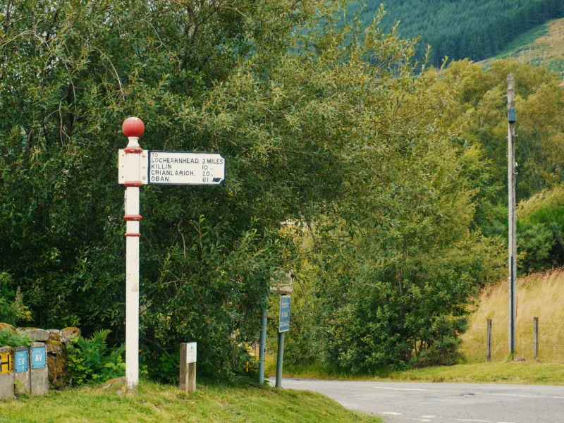
The village of Carter Bar sits at the precise point where the A68 crosses from Northumberland into the Scottish Borders. For the people who live in its vicinity — on farms, in hamlets, and in small settlements that straddle the national boundary — the distinction between England and Scotland is largely abstract. They shop in the same market towns, their children attend schools determined by proximity rather than nationality, and when they require emergency assistance, they expect it to arrive promptly regardless of which side of the line they are standing on.
What they may not appreciate is that, behind the scenes, the systems responsible for delivering that assistance are operating from fundamentally different geographic frameworks — frameworks that, in many cases, do not speak to one another at all.
The Architecture of Divergence
Britain's devolution settlement, implemented from 1999 onwards, transferred significant powers over public services to Edinburgh, Cardiff, and Belfast. With those powers came administrative independence — including, in many cases, independence over the geographic data standards and mapping systems that underpin service delivery.
The result, more than two decades later, is a patchwork of incompatible geospatial architectures operating within a single island. Scotland's public sector relies heavily on the Scottish Government's own geographic data infrastructure, which uses different administrative boundary definitions, postcode structures, and spatial reference frameworks from those employed in England. Wales has developed its own spatial data catalogue through the Spatial Data Unit within the Welsh Government. Northern Ireland's Land and Property Services agency maintains a separate address and property dataset with distinct classification conventions.
None of this is inherently problematic within the borders of each devolved nation. The difficulties arise at the margins — in the thin strips of territory where administrative responsibility changes but geographic and social reality does not.
Fire and Rescue: When Boundaries Burn
The fire and rescue sector offers perhaps the most visceral illustration of cross-border data failure. Fire services in England and Scotland are funded and governed separately, and their mobilising systems — the software that dispatches crews and routes appliances — are procured independently and configured to different mapping standards.
At the England-Scotland border, this creates a coordination gap that emergency planners have long acknowledged but struggled to resolve. Incidents near the boundary may fall within the geographic catchment of a Scottish fire station that is physically closer to the scene than its English counterpart, but cross-border mobilisation requires manual contact between control rooms rather than automatic system-to-system communication. The geographic data simply does not flow across the administrative divide in real time.
Some cross-border mutual aid agreements exist, and they function reasonably well when triggered correctly. The concern raised by emergency planning professionals is not the absence of goodwill but the absence of seamless geospatial interoperability — the kind that would allow a unified incident map to display resources on both sides of the border without manual data reconciliation.
NHS Trusts and the Postcode Paradox
The National Health Service presents a similarly complex picture. NHS England, NHS Scotland, NHS Wales, and the Health and Social Care system in Northern Ireland each maintain their own patient registration, referral, and geographic catchment frameworks. For the overwhelming majority of patients, this division is invisible. For those living near internal borders, it can determine whether they receive timely specialist care or join a waiting list calibrated to a different healthcare geography.
General practitioners operating near the England-Wales border, for instance, may find that their referral pathways lead to hospitals in England even when Welsh facilities are geographically closer — or vice versa — because the catchment boundaries encoded in their systems do not reflect actual travel times and road networks. The geographic data driving these decisions is, in many cases, years out of date and has not been reconciled across the border since devolution reshaped the administrative landscape.
Patient record systems compound the problem. A resident of a border community who receives treatment on one side of the national boundary may find that their records do not transfer automatically to services on the other side — because the address and identifier systems used by the two health services do not map onto one another without manual intervention.
Local Authority Planning and the Boundary Effect
For local planning authorities, cross-border data inconsistency creates a different but equally disruptive set of challenges. Development proposals near internal borders require environmental impact assessments, flood risk analyses, and transport modelling — all of which depend on geographic data. When the authoritative datasets for land classification, flood zones, and road networks differ across the border, planners on either side are effectively working from different versions of the same landscape.
This is not a theoretical concern. Planning disputes involving sites near the England-Scotland and England-Wales borders have, on documented occasions, involved contradictory assessments produced by authorities using incompatible datasets. The resolution of such disputes is time-consuming, expensive, and ultimately dependent on human judgement rather than authoritative geographic evidence.
The Technical Barriers to Integration
The obstacles to cross-border geospatial integration are both technical and political. On the technical side, the divergence in coordinate reference systems, address gazetteers, and administrative boundary definitions means that data from one jurisdiction cannot simply be overlaid on data from another without transformation — and transformation introduces error.
Britain uses the OSGB36 coordinate system as its primary terrestrial reference, but the precise implementation of this system varies across different national datasets, and the administrative boundaries encoded within each nation's spatial data do not share a common edge-matching standard. Where England meets Scotland on a map, the boundary line may appear continuous but the data underpinning it on each side may have been captured at different resolutions, at different points in time, and according to different topological rules.
On the political side, the devolution settlement creates genuine complexity around data sovereignty. Each devolved administration has legitimate interests in controlling its own geographic data — interests that are reflected in licensing terms, access restrictions, and procurement decisions that may actively discourage cross-border data sharing.
Pathways Towards a Unified Geographic Framework
A number of geospatial professionals and public sector reform advocates have argued that the solution lies not in the abolition of devolved data sovereignty but in the creation of interoperability standards that allow different national datasets to communicate without losing their administrative independence.
The concept of a British Geospatial Interoperability Framework — analogous to the data sharing mechanisms that exist in federal systems such as Germany and Australia — has been discussed in policy circles for some years. Such a framework would establish common edge-matching standards for boundary datasets, shared address identifier protocols for properties near internal borders, and agreed transformation parameters for converting between national coordinate systems.
The Geospatial Commission in London and its counterparts in Edinburgh and Cardiff have made some progress towards data sharing agreements, but critics argue that progress has been incremental where the scale of the problem demands structural reform.
Conclusion: Geography Does Not Respect Administrative Lines
The communities that live and work near Britain's internal borders did not choose their location with reference to administrative convenience. They chose it for the same reasons people settle anywhere — proximity to family, affordable housing, employment, landscape. The systems designed to serve them should be capable of functioning as coherently as the communities themselves do.
Geospatial technology has advanced to the point where cross-border data integration is an engineering challenge rather than an impossibility. The barriers that remain are primarily institutional. Resolving them will require political commitment across devolved administrations and a shared recognition that geographic data, like the landscape it describes, does not stop at the boundary post.