The Silent Revolution in Last-Mile Logistics
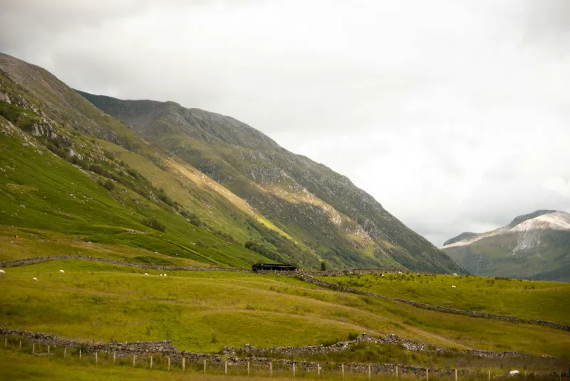
Across Britain's rural landscapes, a quiet crisis is unfolding. From the windswept moors of Dartmoor to the remote crofts of the Western Isles, communities that have weathered centuries of geographic isolation now face a new form of digital abandonment. The culprit is not human prejudice but algorithmic efficiency—delivery routing systems that systematically exclude areas where geospatial data remains patchy, incomplete, or commercially unviable.
The transformation of Britain's delivery infrastructure over the past decade has been nothing short of revolutionary. Where once local postmen navigated by memory and landmark knowledge, today's logistics networks depend entirely on precise coordinate systems, route optimisation algorithms, and real-time traffic data. This shift towards automation has delivered remarkable efficiency gains in urban centres, but it has inadvertently created a digital postcode lottery for rural Britain.
The Geography of Algorithmic Exclusion
Consider the plight of a small business owner in Knoydart, often dubbed Britain's last wilderness. Despite operating a thriving outdoor equipment company, deliveries regularly fail to reach customers in this roadless peninsula. The issue lies not with the Royal Mail, whose traditional networks still function, but with the commercial courier services that increasingly dominate e-commerce fulfilment.
These companies rely heavily on commercial mapping datasets from providers like HERE Technologies and TomTom, which prioritise road networks serving high-density populations. Rural areas, particularly those with complex addressing systems or seasonal access routes, often exist as blank spaces in these databases. The result is a systematic bias where algorithmic routing systems default to marking such locations as 'undeliverable' rather than attempting complex navigation.
The Scottish Highlands exemplify this challenge. A recent analysis by CodexGeo revealed that over 40% of postcodes in the Highland Council area experience regular delivery failures from major e-commerce platforms. The problem extends beyond mere inconvenience—it represents a fundamental threat to rural economic participation in Britain's increasingly digital economy.
Commercial Consequences of Geographic Gaps
The economic implications extend far beyond missed parcels. Rural businesses report losing customers to urban competitors who can guarantee reliable delivery timescales. A ceramics studio in Mid Wales recently documented a 30% drop in online sales after repeated delivery failures led to negative customer reviews and marketplace penalties.
This digital redlining effect compounds existing rural disadvantages. Where high street shops have closed and public transport remains limited, online retail represents a crucial lifeline for rural communities. When algorithmic routing systems systematically exclude these areas, they effectively create economic dead zones where residents cannot fully participate in the modern marketplace.
The phenomenon is particularly acute in regions where traditional addressing systems clash with modern digital requirements. Areas using historical naming conventions—such as Welsh communities with bilingual signage or Scottish villages relying on descriptive addresses—frequently fall victim to geocoding failures that render them invisible to automated systems.
Emerging Solutions and Digital Innovation
However, innovative approaches are beginning to bridge this geographic divide. The adoption of what3words addressing represents one promising avenue. This system assigns unique three-word combinations to every 3x3 metre square on Earth, providing precise location data even where traditional addresses fail.
Several UK delivery companies have begun integrating what3words into their routing systems, with notable success in previously challenging areas. A pilot programme in the Cairngorms National Park demonstrated a 60% reduction in failed deliveries when customers provided what3words addresses alongside traditional postcodes.
Drone delivery technology offers another potential solution, though regulatory frameworks remain restrictive. Trial programmes in the Orkney Islands have successfully used autonomous drones to deliver medical supplies and essential goods to remote communities, bypassing the road network limitations that confound traditional routing algorithms.
The Ordnance Survey Partnership Opportunity
Perhaps most significantly, partnerships between commercial logistics providers and Ordnance Survey are beginning to address fundamental data gaps. OS MasterMap data offers unparalleled accuracy for British geographic features, including the detailed addressing information often missing from commercial datasets.
Recent collaborations have seen major delivery companies incorporating OS data to improve rural coverage. These partnerships represent a crucial step towards ensuring that Britain's digital infrastructure serves all communities, not merely those in high-density urban areas.
Mapping Britain's Connected Future
The challenge of rural delivery exclusion reflects broader questions about digital equity in modern Britain. As algorithmic systems increasingly mediate access to goods and services, ensuring comprehensive geospatial coverage becomes a matter of social justice as well as commercial efficiency.
The solution requires coordinated action across multiple stakeholders—from delivery companies investing in better rural data to government agencies ensuring comprehensive addressing standards. Technology providers must also recognise their responsibility to serve all British communities, not merely those offering the highest commercial returns.
As Britain continues its digital transformation, the goal must be ensuring that geographic location does not determine digital participation. The postman may have traditionally rung twice, but in our algorithmic age, we must ensure that digital systems ring at least once for every community across these islands.
The future of British logistics lies not in abandoning challenging geographies but in developing the sophisticated geospatial intelligence needed to serve them effectively. Only then can we truly claim to be mapping the future of Britain for all its citizens.