The Silent Erosion of Britain's Green Heritage
Across Britain's urban landscape, a quiet catastrophe unfolds daily as cherished green spaces vanish beneath concrete and steel. Yet this environmental crisis stems not from overt policy decisions, but from a more insidious problem: the fundamental failure of our geospatial systems to accurately map, classify, and protect the nation's green infrastructure.
The root of this crisis lies in Britain's fragmented approach to green space mapping. Unlike flood zones or transport networks, which benefit from standardised national datasets, green space classification remains a patchwork of local interpretations, creating dangerous blind spots that developers and councils increasingly exploit.
The Geography of Inconsistency
Consider the stark reality facing Birmingham's residents. The city council's GIS database classifies certain areas as "accessible green space" based on proximity algorithms that count private golf courses and school playing fields as public amenities. Meanwhile, genuine community parks face reclassification as "brownfield sites" when their maintenance budgets disappear—a sleight of hand that makes them eligible for development under national planning guidelines.
This geographical sleight of hand isn't confined to the Midlands. In Leeds, a 2023 audit revealed that over 40% of spaces classified as "public green areas" in planning documents were either privately owned, inaccessible to the general public, or had been sold to developers within the previous five years. The geospatial disconnect between official records and ground truth has created what urban planners privately describe as "phantom parks"—green spaces that exist in databases but not in reality.
London's Mapping Mirage
Greater London presents perhaps the most complex example of this geospatial chaos. The capital's 32 boroughs each maintain separate GIS systems for green space classification, using different criteria, different measurement standards, and different update cycles. Hackney might classify a 200-square-metre pocket park as "major green infrastructure," whilst neighbouring Tower Hamlets requires 2,000 square metres for the same designation.
This inconsistency creates perverse incentives. Developers shopping for planning permission can exploit borough boundaries, proposing developments that technically meet green space requirements by counting amenities in adjacent local authorities. A luxury housing development in Islington might justify reduced on-site green provision by pointing to Hampstead Heath—despite the nearest access point being a 45-minute journey by public transport.
The Technical Architecture of Failure
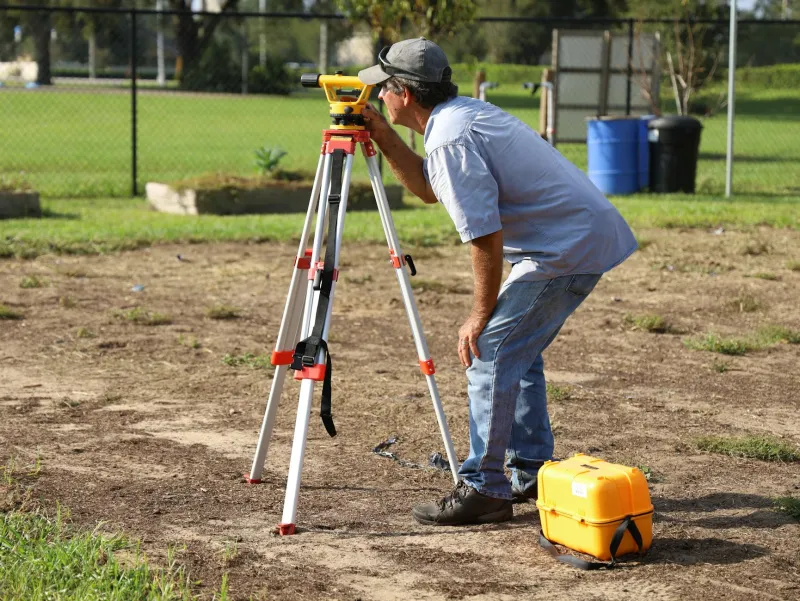
The problem extends beyond simple measurement discrepancies. Britain's green space mapping relies on outdated classification systems that fail to reflect contemporary urban realities. The Ordnance Survey's MasterMap, whilst excellent for many applications, uses land use categories established decades ago, when urban green space served different functions and faced different pressures.
Many local authorities compound this by using consumer-grade GIS software with limited analytical capabilities. They struggle to perform complex spatial analyses that might reveal, for instance, that removing a small urban park creates a "green desert"—an area where residents must travel more than 15 minutes to reach accessible nature.
Moreover, the temporal dimension of green space mapping remains woefully inadequate. Seasonal variations, maintenance cycles, and usage patterns rarely feature in planning databases. A space might appear "green" in satellite imagery from April whilst being waterlogged and unusable for eight months of the year.
The Human Cost of Cartographic Chaos
This mapping crisis carries profound implications for public health and social equity. Research consistently demonstrates that access to quality green space correlates with reduced mental health issues, lower childhood obesity rates, and improved air quality. When mapping failures enable the loss of these spaces, the consequences ripple through entire communities.
In densely populated areas, the loss of even small parks can be devastating. A single playground in a high-density housing estate might serve thousands of residents. When developers successfully argue that nearby "green space" (perhaps a roadside verge or private garden visible from satellite imagery) provides adequate provision, communities lose irreplaceable social infrastructure.
Towards Cartographic Clarity
The solution requires fundamental reform of Britain's green space mapping architecture. A national standard for green space classification—similar to the Environment Agency's flood mapping protocols—could eliminate the current postcode lottery.
Such a system would need to incorporate multiple data layers: accessibility (including disabled access), ownership status, seasonal usability, and community usage patterns. Modern GIS technology makes this feasible, but it requires political will and sustained investment.
Furthermore, real-time monitoring capabilities could track changes to green spaces before they become irreversible. Satellite imagery analysis, combined with community reporting systems, could flag potential losses before planning applications reach committee stage.
The Path Forward
Britain stands at a crossroads. We can continue accepting the current system's failures, watching our green heritage disappear through mapping blind spots and bureaucratic inconsistencies. Alternatively, we can recognise that accurate geospatial data isn't merely technical infrastructure—it's the foundation of environmental protection and community wellbeing.
The choice seems obvious. Yet implementing change requires acknowledging an uncomfortable truth: our current mapping systems, designed for simpler times, are actively enabling the destruction of irreplaceable community assets. Only by confronting this cartographic crisis can we hope to preserve Britain's green spaces for future generations.
The maps we make today will determine the cities our children inherit tomorrow. We must ensure they inherit more than concrete and regret.