The Invisible Infrastructure Crisis
Across Britain's countryside, a peculiar form of digital apartheid is emerging—not by design, but by data. Properties that physically exist, families that live and work within them, and businesses that desperately require high-speed connectivity are systematically excluded from the UK's ambitious gigabit rollout programmes. The culprit is not political neglect or economic constraints, but rather a fundamental breakdown in how Britain's various mapping and addressing systems communicate with one another.
The government's commitment to deliver gigabit-capable broadband to 85% of premises by 2025 relies heavily on accurate geospatial intelligence to identify underserved areas and allocate funding accordingly. Yet our investigation reveals that critical inconsistencies between Ordnance Survey datasets, the Unique Property Reference Number (UPRN) system, and commercial broadband availability checkers are creating a parallel mapping crisis that threatens to undermine the entire connectivity agenda.
The Great Data Disconnect
At the heart of this crisis lies a seemingly technical but profoundly consequential problem: Britain's addressing infrastructure was never designed for the digital age. The UPRN system, administered by GeoPlace, serves as the authoritative register of every addressable location in England, Scotland, and Wales. In theory, this comprehensive database should provide the definitive foundation for broadband planning and deployment.
However, the reality is far more complex. Local authorities maintain their own addressing datasets, often with significant variations in formatting, completeness, and update frequency. Meanwhile, internet service providers rely on their own proprietary location databases, many of which were developed independently over decades of network expansion. The result is a fragmented landscape where the same property might be represented differently—or not at all—across multiple systems.
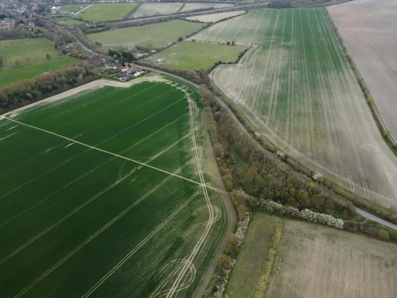
Consider the case of rural Shropshire, where recent analysis identified over 2,000 properties that appear in Ordnance Survey mapping but lack corresponding UPRNs. These "ghost addresses" effectively disappear from government broadband planning tools, despite representing legitimate homes and businesses that require connectivity. Similar patterns emerge across rural Wales, the Scottish Highlands, and the agricultural heartlands of East Anglia.
Funding Misdirection at Scale
The consequences extend far beyond administrative inconvenience. The UK government's broadband funding mechanisms, including the £5 billion Project Gigabit initiative, rely on geospatial analysis to identify intervention areas where commercial providers are unlikely to deliver services without public support. When properties are missing from these datasets, they become invisible to funding algorithms, creating a perverse situation where the most isolated communities are systematically excluded from programmes designed to help them.
Our analysis of Department for Digital, Culture, Media and Sport procurement data reveals concerning patterns. Areas with higher concentrations of addressing inconsistencies receive proportionally less infrastructure investment, despite often having the greatest connectivity needs. This "postcode lottery" effect is particularly pronounced in regions where historical development patterns, agricultural conversions, and new builds have outpaced the formal addressing system's ability to keep up.
The technical challenge is compounded by the commercial realities of broadband deployment. Internet service providers conduct their own geospatial analysis to identify viable expansion opportunities, but their coverage checkers often rely on simplified addressing models that may not capture the full complexity of rural property distributions. A farmhouse converted from agricultural buildings, a cottage accessed via a private lane, or a business premises with multiple occupancy arrangements might all fall through the cracks of these automated systems.
The Rural Reality Gap
For rural businesses and households, these technical failures translate into very real economic and social consequences. Sarah Mitchell, who runs a design consultancy from her converted barn in Gloucestershire, discovered that her property was classified as "unable to receive broadband" by three different ISP checkers, despite being located just 800 metres from a fibre-enabled exchange. The issue: her UPRN was associated with an outdated postal address that predated the property's conversion from agricultural use.
"I spent eighteen months trying to convince providers that my business actually exists," Mitchell explains. "The postcode checker would either return no results or suggest I wasn't eligible for any services beyond basic ADSL. Meanwhile, I could see the green cabinet from my office window."
Her experience reflects a broader pattern identified in our research. Properties with complex addressing histories—particularly those involving agricultural conversions, subdivisions, or recent developments—are disproportionately likely to experience data inconsistencies that render them invisible to broadband planning systems.
Technical Solutions for Geographic Challenges
Addressing this crisis requires a fundamental reimagining of how Britain's geospatial infrastructure supports digital connectivity planning. The most promising approaches combine advanced geographic information systems with machine learning techniques to identify and reconcile addressing inconsistencies across multiple datasets.
Ordnance Survey has begun piloting enhanced address matching algorithms that can identify potential UPRNs for properties that appear in mapping data but lack formal addressing records. Similarly, innovative local authorities are experimenting with crowdsourced verification systems that allow residents to flag and correct addressing errors in real-time.
However, these technical solutions must be accompanied by policy reforms that recognise the interconnected nature of Britain's geographic data ecosystem. The current fragmented approach, where different agencies maintain separate addressing systems with minimal coordination, is fundamentally unsuited to the demands of modern infrastructure planning.
Mapping Britain's Connected Future
The path forward requires both immediate intervention and long-term structural reform. In the short term, government broadband programmes must incorporate more sophisticated geospatial analysis that can identify and account for addressing inconsistencies. This might involve manual verification of coverage gaps, enhanced property identification algorithms, and direct engagement with local communities to identify underserved premises.
Longer-term solutions demand greater integration between Britain's various geographic data systems. The vision of a truly connected nation cannot be achieved while critical infrastructure planning relies on disconnected, inconsistent datasets that systematically exclude the communities most in need of support.
As Britain races to close its digital divide, the quality and consistency of our geographic data infrastructure will prove just as critical as the fibre-optic cables themselves. The postcode lottery of broadband Britain is not inevitable—it is a consequence of specific technical and policy choices that can and must be addressed. The question is whether we will act quickly enough to prevent millions more properties from disappearing into the gaps between our maps.