When the Ambulance Can't Find You: The After-Dark Data Deficit in Britain's Emergency Response
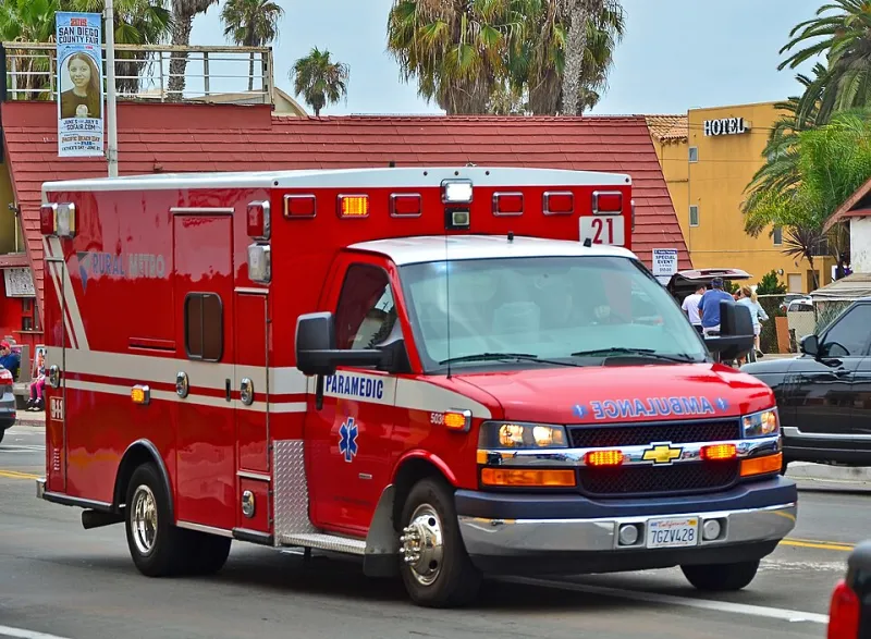
Photo: Tomás Del Coro from Las Vegas, Nevada, USA, CC BY-SA 2.0, via Wikimedia Commons
At 02:47 on a February morning, a category 1 call is logged from a converted barn on the edge of a Shropshire village. The caller gives a road name. The dispatcher types it in. The routing software hesitates, offers three candidate locations spread across four kilometres, and the ambulance is sent to the wrong one first. Eleven minutes are lost. In emergency medicine, eleven minutes is the difference between a cardiac arrest survival statistic and a funeral.
This scenario, reconstructed from patterns reported across multiple ambulance trusts, is not an anomaly. It is the predictable consequence of a geospatial data problem that Britain has known about for years and largely failed to fix.
The Sunset Penalty
Analysis of response time data — obtained through Freedom of Information requests to several NHS ambulance trusts — reveals a consistent pattern that researchers in the emergency response community have begun to call the sunset penalty. For identical call categories, in identical locations, mean response times degrade disproportionately between the hours of 22:00 and 05:00. The degradation is sharpest in rural and peri-urban postcodes, where street lighting is absent, signage is sparse, and the addressing record is at its thinnest.
Daylight partly masks the problem. A crew arriving in a village at 14:00 can read a house nameplate, spot a footpath, ask a passer-by. At 03:00, none of that is available. The crew is entirely dependent on the navigation payload in the cab — and that payload is only as good as the address and routing data beneath it.
Where the Record Runs Out
Three distinct data failures compound after dark.
The first is the persistent problem of properties that exist in the real world but not in the authoritative address record. Rural infill developments, agricultural conversions, and properties on unnamed private lanes are chronically under-represented. National studies of address completeness have repeatedly flagged rural England and Wales as the weak point, and ambulance trusts inherit that weakness wholesale.
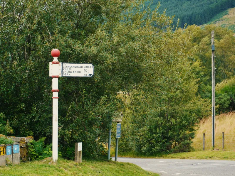
The second is routing data that does not distinguish between a maintained highway and a farm track. Several trusts have reported crews directed down agricultural access routes that a fully laden ambulance cannot physically traverse — a discovery usually made at the worst possible moment.
The third is the absence of darkness-relevant attributes altogether. Which end of an unlit lane is the safest access point? Where is the nearest suitable turning circle for a large vehicle? Which properties have gates, codes, or long private drives? None of this is captured in any standard geographic product used by dispatch systems today.
The FOI Picture
Responses to FOI requests paint a fragmented governance picture. Some trusts maintain their own supplementary gazetteers — locally curated lists of hard-to-find properties, often built by hand from crew feedback. Others rely entirely on commercially licensed routing products, updated on vendor schedules, with no mechanism for crews to flag a mislocated address back upstream.
The consequence is that the most safety-critical mapping operation in the country is, in places, running on data that would embarrass a food delivery app. One trust acknowledged that its rural response time figures for night shifts could not be reliably separated from addressing problems at all — meaning the true scale of the issue is not merely unknown but unmeasured.
What a Fix Would Look Like
The remedies are neither exotic nor unaffordable. A mandatory feedback loop from ambulance crews to the national address infrastructure would close the most damaging gaps within months, not years. Routing products used by emergency services should carry verified surface and width attributes for minor roads. And darkness-relevant access data — lighting, turning provision, entry constraints — should become a standard layer in the geographic products that dispatch systems consume.
Several trusts are already experimenting with what3words-style location capture for callers in open country, and early results are promising. But precise coordinate capture solves only the caller-communication problem. It does nothing for the ambulance sitting at the entrance to an unlit lane at 03:00 with three possible destinations and no data to choose between them.
Britain's emergency response record is, by international standards, strong. That makes the after-dark deficit all the more galling: it is not a problem of resources or clinical skill, but of information. The map that guides a paramedic should not depend on whether the sun happens to be up.