The £100 Billion Question: Where Did It All Go Wrong?
When the High Speed 2 railway project received its initial budget approval of £32.7 billion in 2010, few could have predicted that this figure would balloon to over £100 billion by 2023. Whilst political rhetoric has focused on scope creep and changing requirements, the uncomfortable truth lies buried in the project's foundational geospatial intelligence failures—or rather, the lack thereof.
HS2 represents perhaps the most expensive lesson in the critical importance of comprehensive geographic data collection and analysis before major infrastructure development begins. The project's cost overruns and delays can be directly attributed to a systematic underestimation of the complexity hidden beneath Britain's seemingly familiar landscape.
Archaeological Ambushes: When History Strikes Back
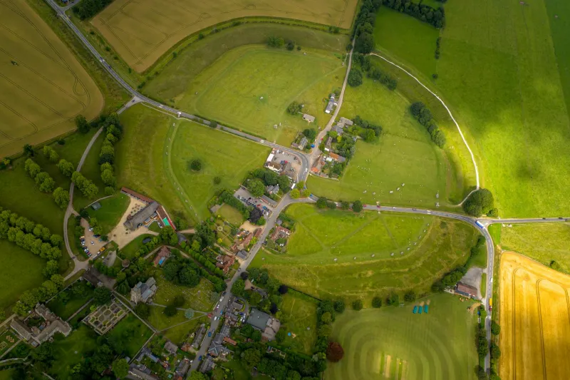
The most publicly documented geospatial failure has been HS2's encounter with Britain's rich archaeological heritage. The project has uncovered over 100 archaeological sites along its route, from Roman settlements to medieval villages, each requiring careful excavation and preservation work that was inadequately budgeted for in the original costings.
At Colne Valley, west of London, excavations revealed a 10,000-year-old hunting ground complete with Mesolithic tools and animal remains. Whilst archaeologically significant, this discovery added months to the construction timeline and millions to the budget. Similar surprises emerged at Wendover, where a previously unknown Roman villa required extensive investigation.
These discoveries were not unforeseeable acts of God—they were predictable outcomes of insufficient geospatial survey work. Modern archaeological prospection techniques, including ground-penetrating radar, magnetometry, and LiDAR analysis, could have identified these sites during the planning phase. Instead, HS2 Ltd chose to conduct minimal archaeological assessment, gambling that such discoveries would be rare.
The gamble failed spectacularly, with archaeological work now accounting for an estimated £1.3 billion of the project's costs—money that could have been saved through proper upfront geospatial intelligence gathering.
Geological Roulette: The Subsurface Lottery
Perhaps even more costly than the archaeological surprises have been the geological miscalculations that have plagued HS2's construction. The project's route traverses some of Britain's most geologically complex terrain, from the London Clay formations to the challenging Chilterns chalk escarpments.
At the Colne Valley Viaduct, ground conditions proved far more challenging than initial surveys suggested. The presence of soft alluvial deposits and variable groundwater levels necessitated significant design changes to the bridge foundations, adding both time and cost to construction.
The Chilterns tunnel section has been particularly problematic, with chalk and flint conditions varying dramatically from initial geological assessments. These variations have required constant design modifications, specialist tunnelling equipment, and extended construction timelines.
Industry sources suggest that comprehensive 3D geological modelling, utilising advanced geophysical survey techniques and extensive borehole sampling, could have identified these challenges during the design phase. Instead, HS2 relied on desktop studies and limited ground investigation, a decision that has cost taxpayers billions.
Land Registry Labyrinth: The Ownership Maze
Compounding the technical challenges have been the land acquisition difficulties stemming from inadequate property boundary mapping and ownership verification. HS2's compulsory purchase process has been hampered by unclear land boundaries, disputed ownership claims, and incomplete property records.
In several cases, the project has encountered properties with unclear title deeds, fragmented ownership structures, and boundary disputes dating back decades. These issues have led to protracted legal battles, delayed land acquisition, and inflated compensation payments.
Modern geospatial intelligence systems, integrated with comprehensive Land Registry data analysis and boundary verification techniques, could have identified these potential complications years before construction began. Instead, HS2 has been forced to navigate these issues reactively, at enormous cost to the public purse.
The Utilities Underground: Infrastructure Archaeology
Britain's buried utility infrastructure represents another geospatial intelligence failure that has haunted HS2's progress. The route crosses thousands of underground services—gas mains, water pipes, telecommunications cables, and electrical systems—many of which were inadequately mapped or entirely unknown to utility companies.
The diversion and protection of these services has required extensive detective work, often involving trial excavations and emergency rerouting when services are discovered during construction. This reactive approach has added both cost and delay to the project, with utility diversions now representing a significant portion of the budget overrun.
Advanced utility mapping techniques, including electromagnetic detection and ground-penetrating radar surveys, could have provided comprehensive subsurface intelligence before construction began. The technology exists; the will to invest in it upfront did not.
Environmental Oversights: Nature's Hidden Costs
Environmental mitigation has provided another expensive lesson in the importance of comprehensive ecological mapping. The project has encountered protected species, sensitive habitats, and environmental conditions that were inadequately assessed during the planning phase.
Great crested newts, protected bat roosts, and ancient woodlands have all required costly mitigation measures that could have been better planned with more thorough ecological surveys. These environmental challenges have not only added cost but have also provided ammunition for project opponents and contributed to public opposition.
The Geospatial Intelligence Imperative
HS2's troubles illuminate a fundamental truth about major infrastructure development: comprehensive geospatial intelligence is not an optional expense but an economic imperative. The project's cost overruns demonstrate that cutting corners on upfront mapping and survey work inevitably leads to far greater expenses during construction.
For future infrastructure projects, HS2 should serve as a cautionary tale about the critical importance of investing in comprehensive geospatial data collection before breaking ground. From archaeological prospection to geological modelling, from utility mapping to environmental assessment, proper geographic intelligence gathering could have saved taxpayers tens of billions of pounds.
Lessons for Britain's Infrastructure Future
As Britain contemplates future infrastructure investments—from Northern Powerhouse Rail to nuclear power stations—the HS2 experience provides stark lessons about the cost of geospatial complacency. The technology exists to conduct comprehensive subsurface and environmental mapping before major projects begin. The question is whether future governments will learn from HS2's expensive mistakes or repeat them.
The railway may eventually connect London to Birmingham, Manchester, and Leeds, but its most valuable legacy may be the demonstration that comprehensive geospatial intelligence is not a luxury but a necessity for responsible infrastructure development. For Britain's taxpayers, that lesson has come at a very high price indeed.